
Coast, forest & water
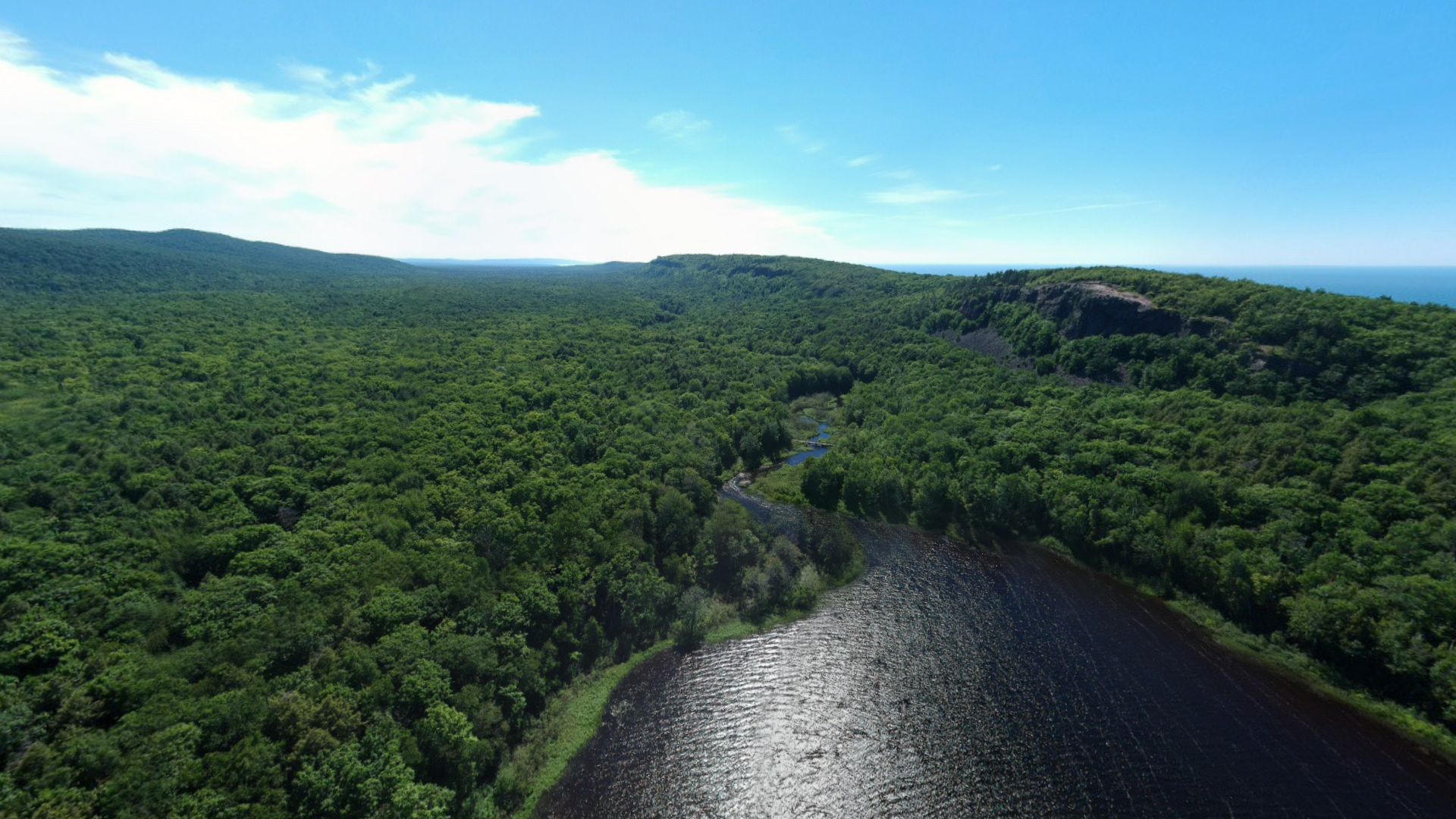
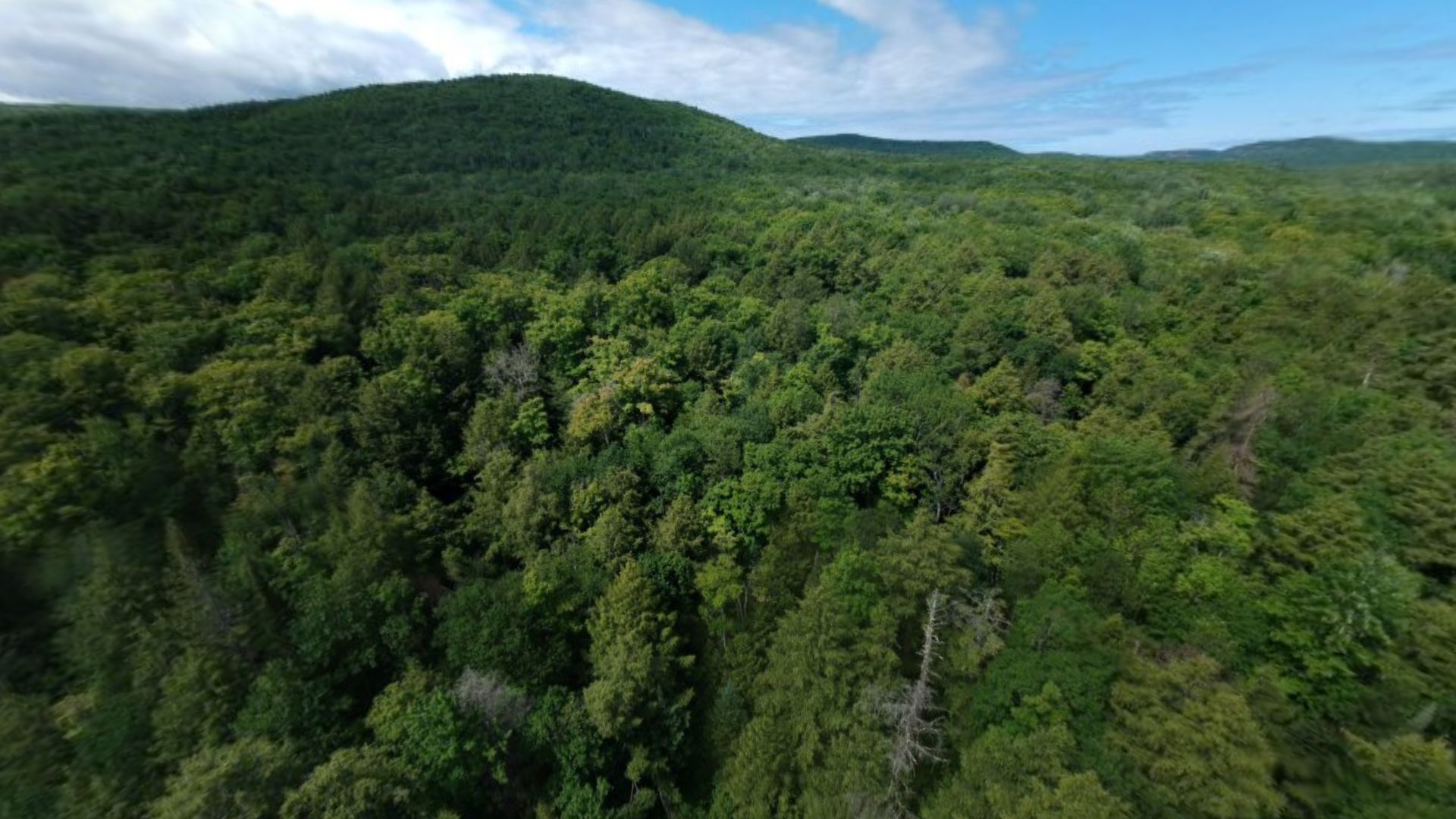
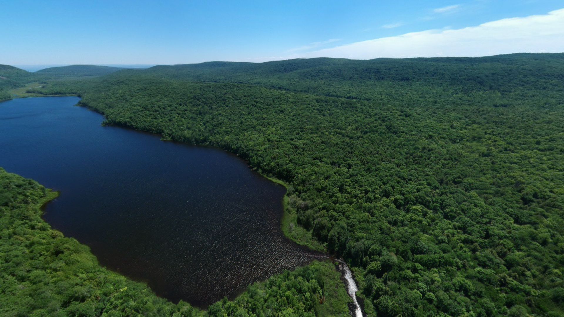
Slow flights and broad reveals that communicate the scale, atmosphere, and continuity of the Upper Peninsula landscape.
Aerial artifact 011 · Drone fieldwork since 2016
A change in altitude changes the question.
Drone photography, 360° spheres and flight footage from Michigan’s Upper Peninsula and Lake Superior country, gathered in one place. From above, shore, forest, river and weather read as one continuous landscape.
01 / Orientation
The overview effect names the shift astronauts describe after seeing Earth as one luminous, finite system against the darkness of space. Frank White gave the experience its name in 1987; astronauts have since returned to the same recurring observations—a borderless planet, a remarkably thin atmosphere, and one shared home whose parts cannot be separated from the whole.
This collection brings that orbital lesson closer to the ground. A drone cannot reproduce the astronaut’s view, but it can rehearse the same change in attention: a familiar region is no longer encountered one road, shoreline, or property at a time. Waterways become connective tissue; forests reveal scale and continuity; settlements become patterns inside watersheds; light and weather reorganize the same terrain from one hour or season to the next.
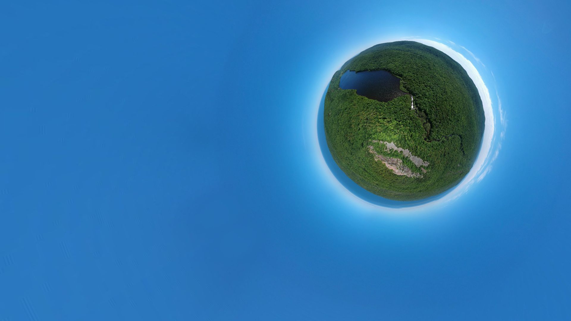
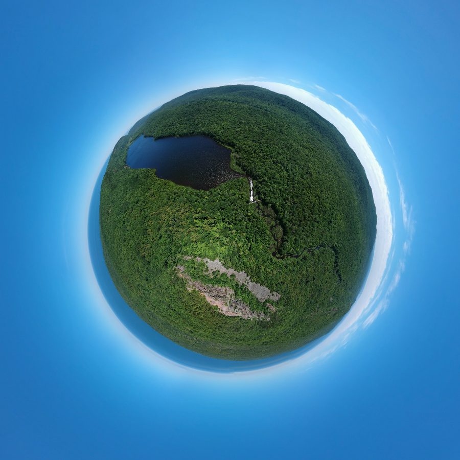
The 360° spheres carry the idea one step further. Each is a complete record of the air around the drone, every direction at once. Turned toward the horizon it reads as a landscape; folded into the planet view, the same place becomes a small, finite world with its water at the center.
For Nagy Design, this expanded vantage point connects artistic observation with professional reality capture. Aerial imagery can establish geographic context, document sites, support information models, and help a client understand how a proposed intervention belongs to the landscape around it.
Context: NASA · Astronaut perspectives on the overview effect ↗
02 / The archive
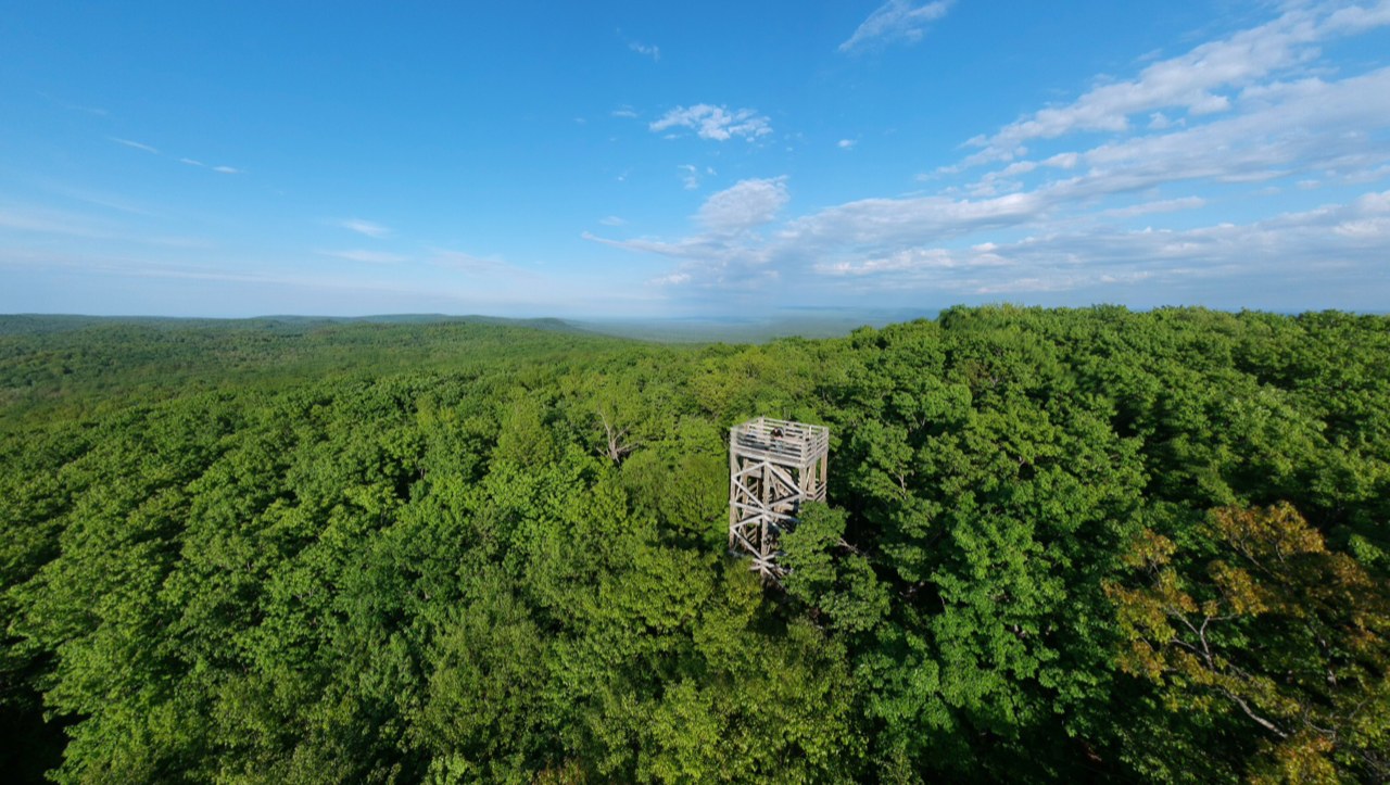
The central record of the aerial work: live 360° spheres you can turn and fold into a planet, wide panoramas you travel along, still photographs, and film as footage is processed. Every work opens on its own page.
 360°
360°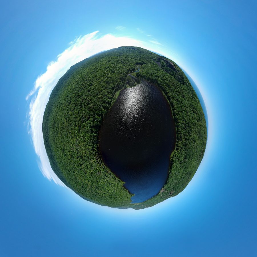 360°
360°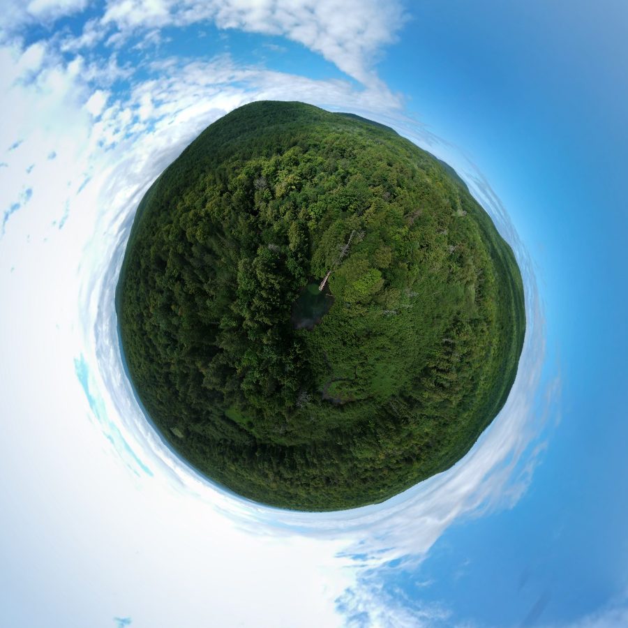 360°
360°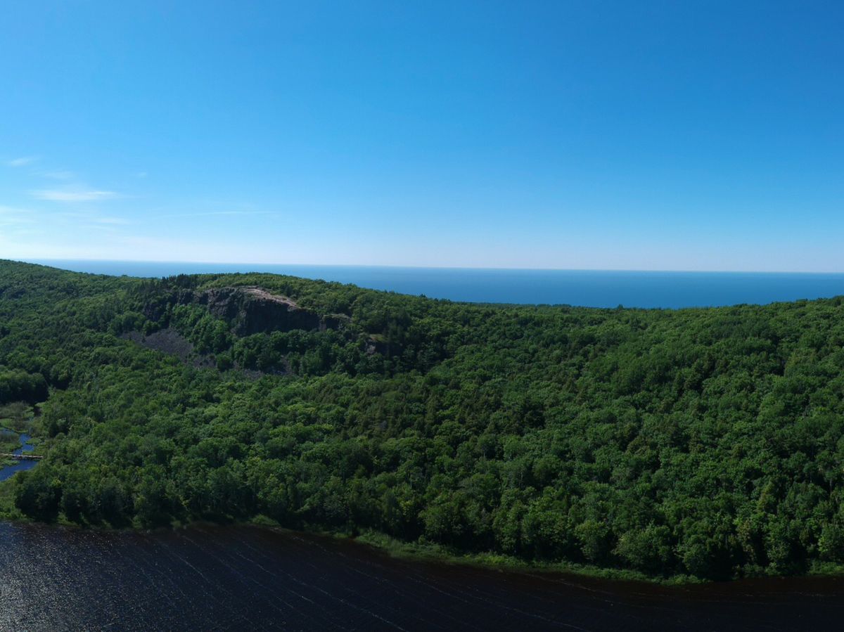 Panorama
 Photo
Photo03 / Geographic index
Every published drone photograph with embedded GPS data becomes a point in the atlas. The continental view establishes context; the Great Lakes detail separates nearby flights so each field note remains selectable.
04 / Field atlas
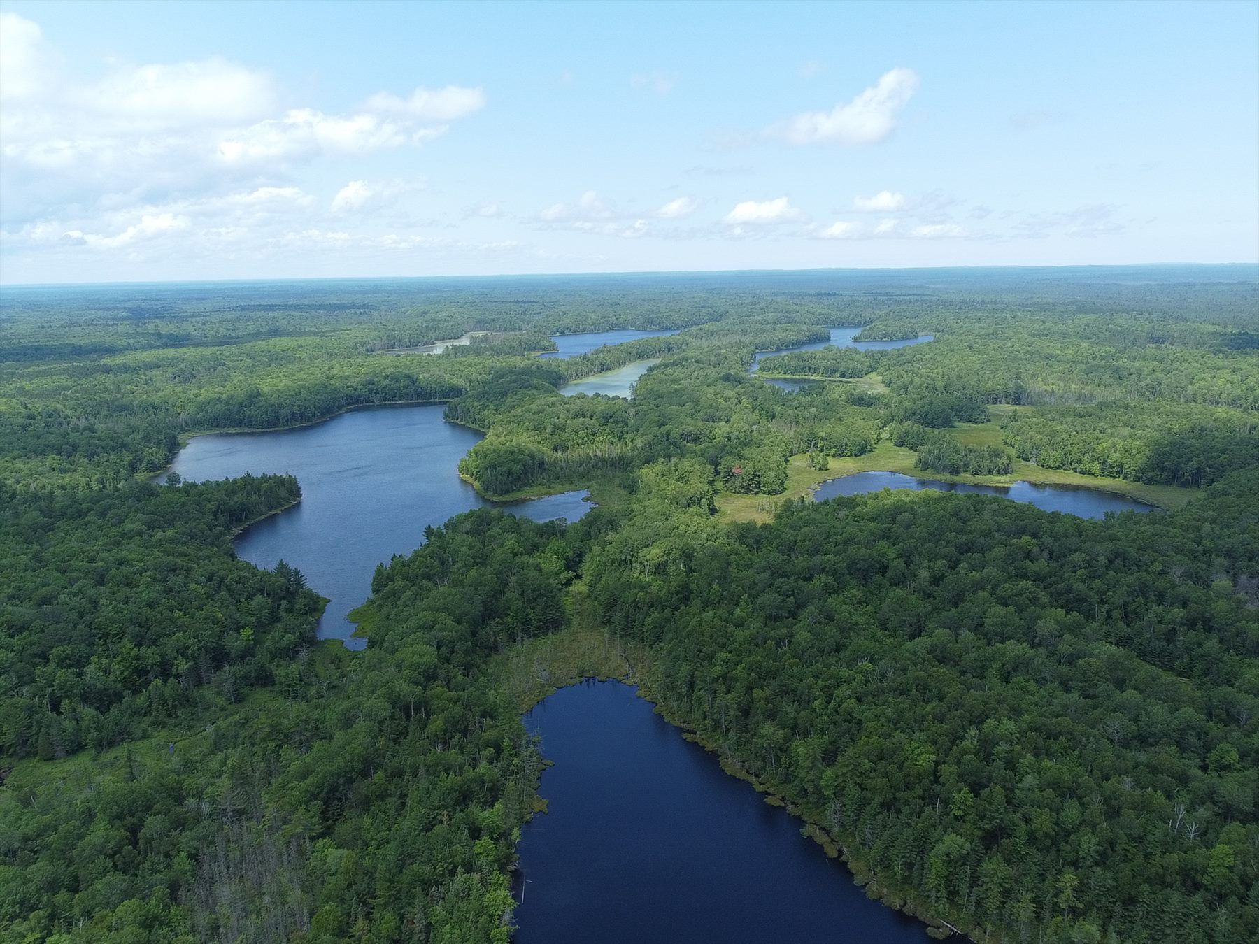
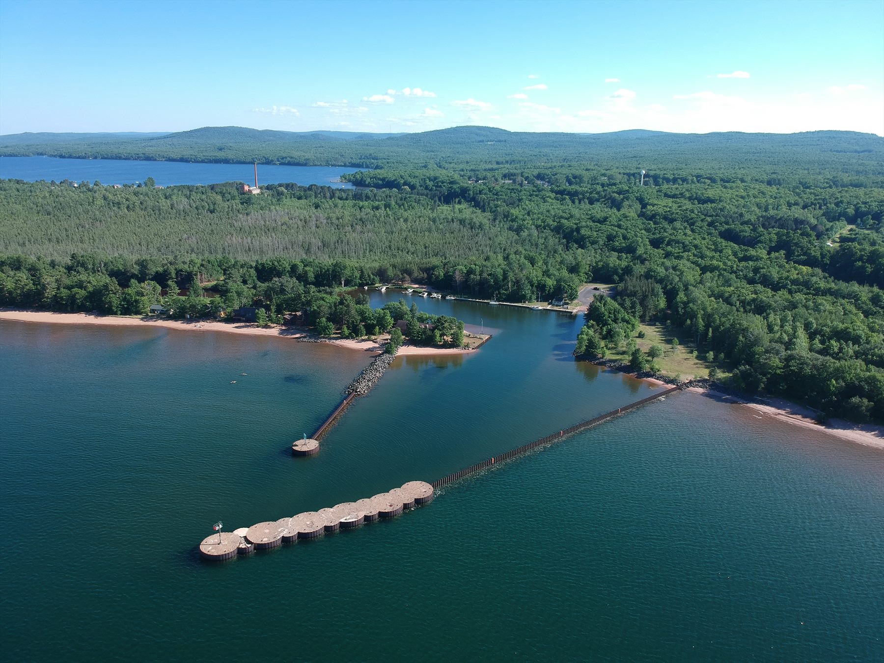
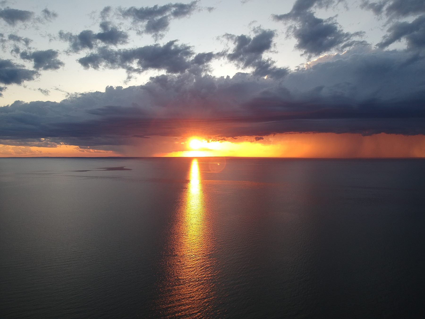
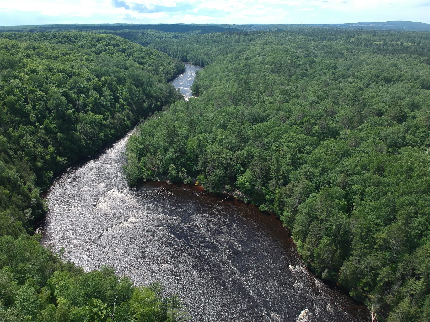
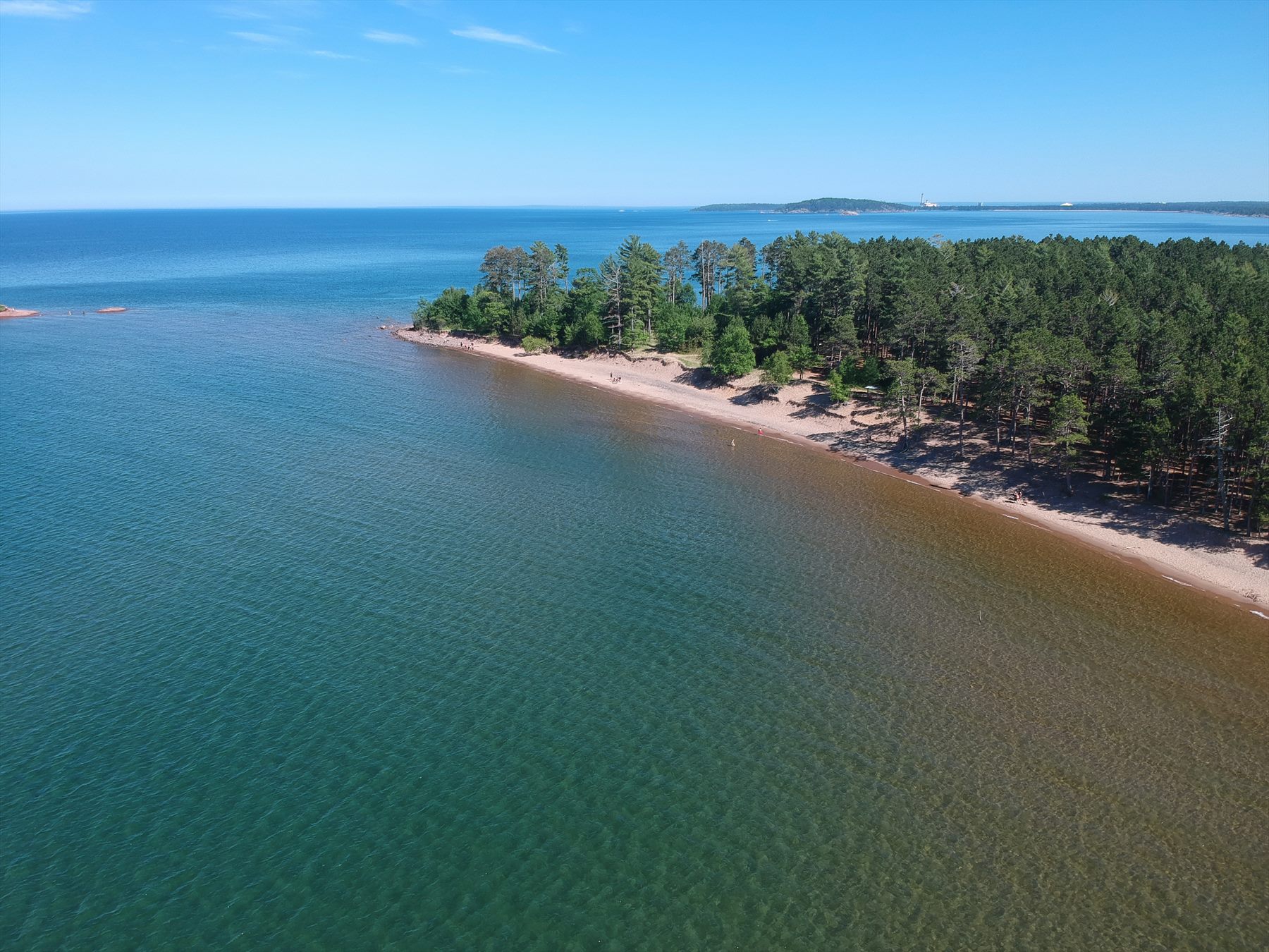
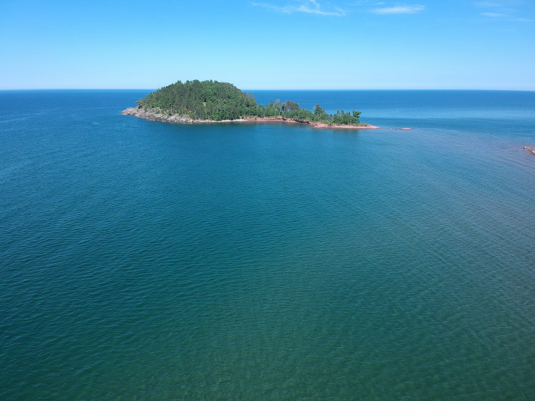
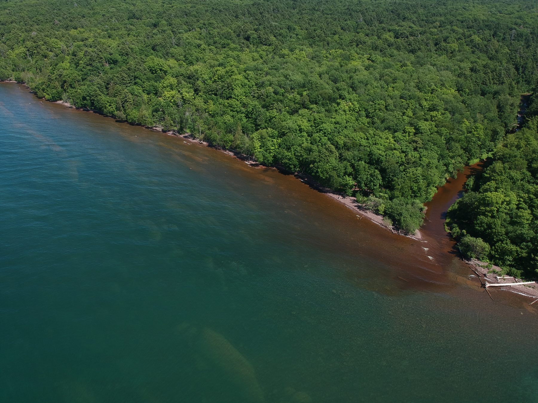
The photographic field notes span June 2020 through April 2025 and combine DJI aerial captures with stitched panoramic studies. GPS-verified photographs carry a rounded public coordinate and regional label; images without embedded location data remain regional field notes.
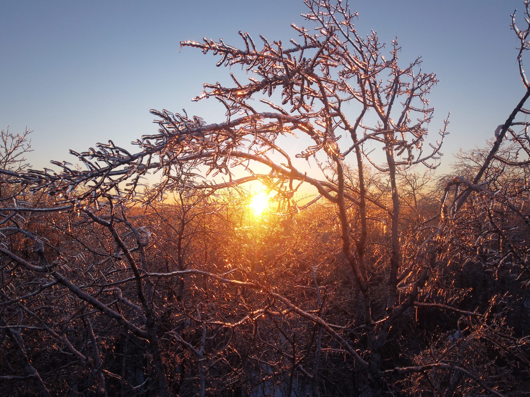
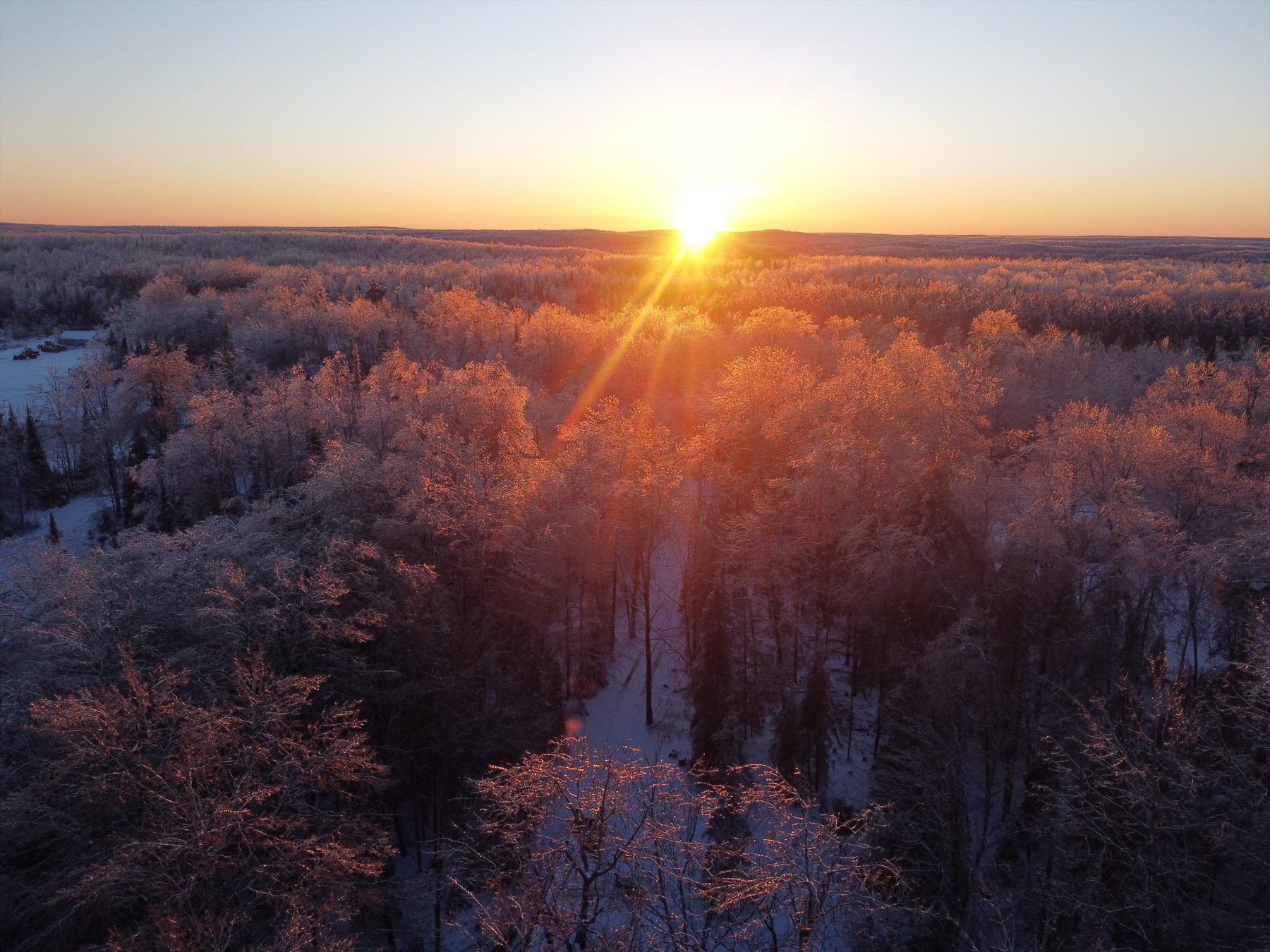
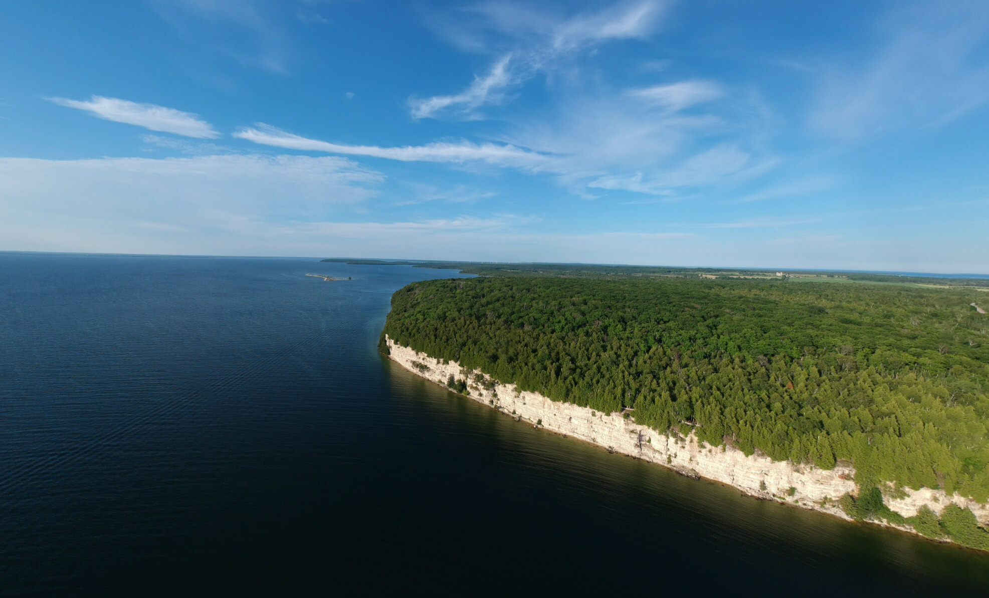
05 / Aerial motion archive
Photography reveals composition, scale, and relationship in a single frame. Videography adds sequence: the gradual approach, the orbit, the crossing of an edge, the changing angle of light, and the movement of weather across the terrain.
Slow flights and broad reveals that communicate the scale, atmosphere, and continuity of the Upper Peninsula landscape.
Structured coverage for properties, structures, access, surrounding conditions, construction progress, and exterior documentation.
Concise visual loops and edited passages for project pages, digital exhibits, presentations, and the wider studio motion archive.
Future clips will use poster images, muted previews, opt-in playback, efficient modern encodes, and descriptive captions. Original full-resolution footage remains in the private portal archive.
06 / Method
An aerial image—still or moving—is never only decoration. Its use changes with the question being asked and the amount of source information available.
Read topography, water, vegetation, access, adjacency, weather, and the visible traces of human use before proposing change.
Create a time-stamped visual record that can support site understanding, progress review, exterior reality capture, and future comparison.
Give clients, collaborators, and the public a legible regional vantage point—one that places an individual design inside the system it will enter.
The published set was selected from the Codex Content Transfer portal. When an original photograph contains GPS tags, the public page plots a rounded coordinate and identifies the entry as GPS verified. Exact EXIF coordinates, camera metadata, and full-resolution source files remain in the private archive; captures without a reliable geotag, including the current 360° spheres, receive a regional label and are not placed on the map.
07 / Continuing fieldwork
Future flights can extend this collection into cinematic landscape studies, repeatable site surveys, seasonal comparisons, construction-progress records, photogrammetric models, and narrated regional essays. Each geotagged photograph can enter the continental atlas as a new point, and each new sphere joins the archive with a page of its own.