
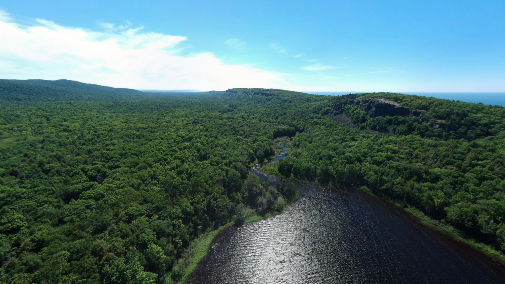
Lake of the CloudsPorcupine Mountains · Ontonagon County, Michigan
Drag or swipe to look around · Arrow keys turn · + / − zoom · P planet view · R reset · Esc returns
360° sphere 02 · The Overview Effect
Over the Water
Low over the dark lake, where the sun lays one bright road across the water.
Drag to look around, or open fullscreen.
Field note · Lake of the Clouds
A mirror for the sky.
Here the drone holds low over the west end of Lake of the Clouds. The water fills the lower half of the sphere, dark enough to act as a mirror, and the sun’s reflection lays a single bright path across it.
Ahead, the lake narrows and becomes the Carp River. To the right, the escarpment lifts its bare rock face above the trees, and over its shoulder Lake Superior meets the sky. Turn around and the lake runs east between its ridges, long and quiet, toward the far end of the valley.
Fold it into a planet and the lake becomes a dark eye at the center of a green world: the clearest picture in this collection of how water organizes everything around it.