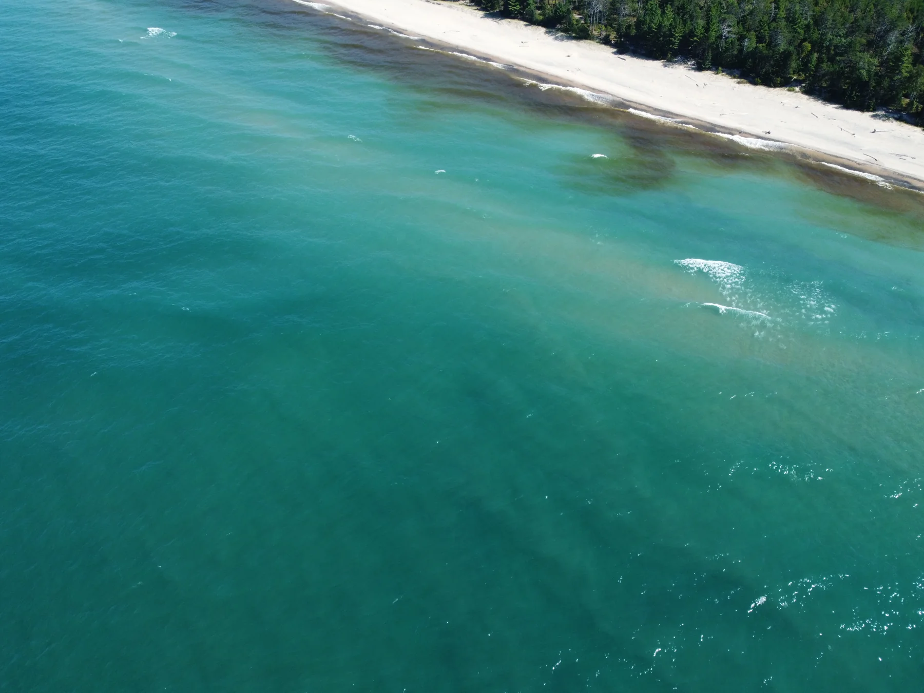
Shoreline in turquoise
Two Hearted coast · Lake Superior
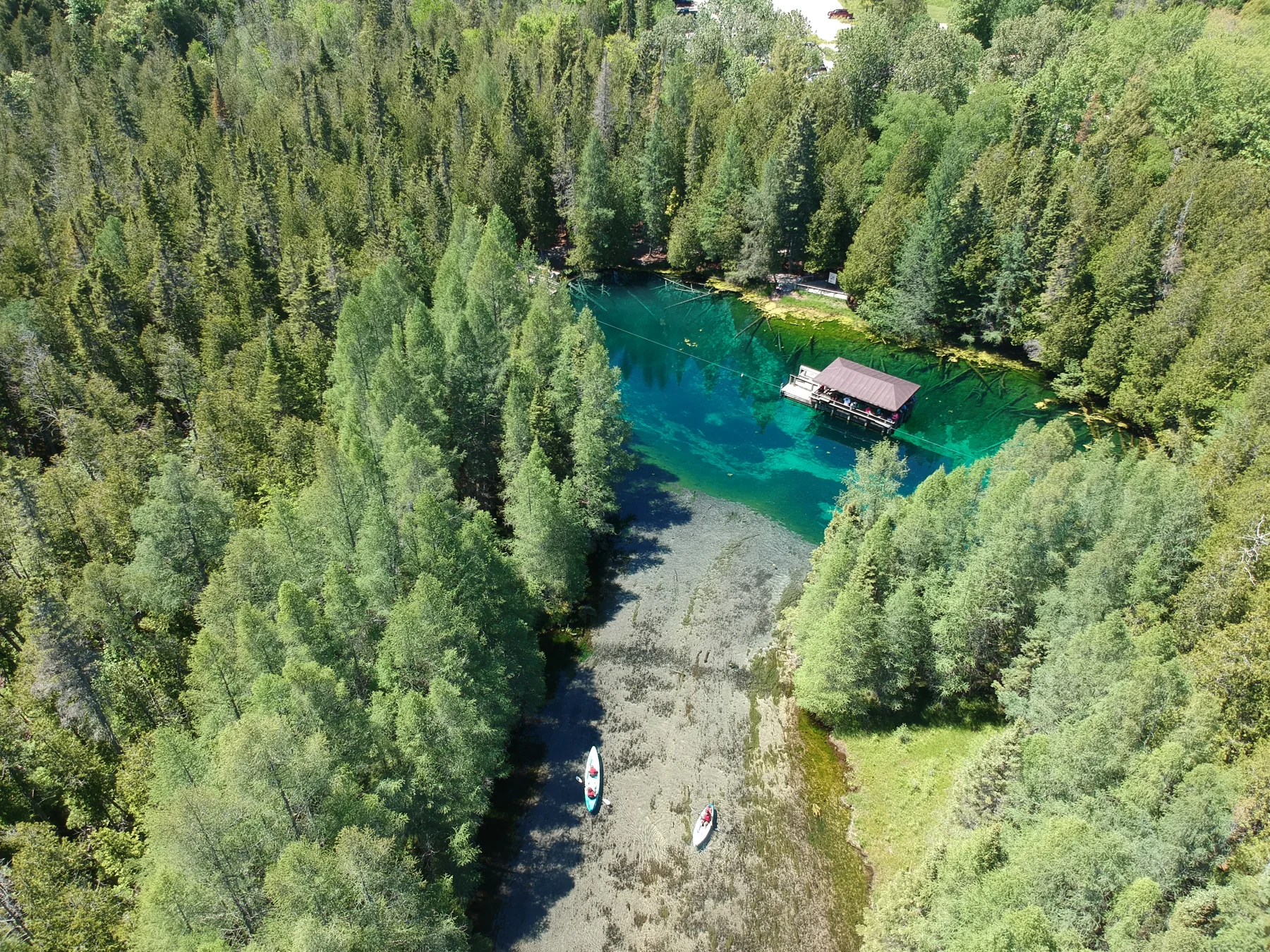
The spring’s blue heart
Schoolcraft County · Michigan
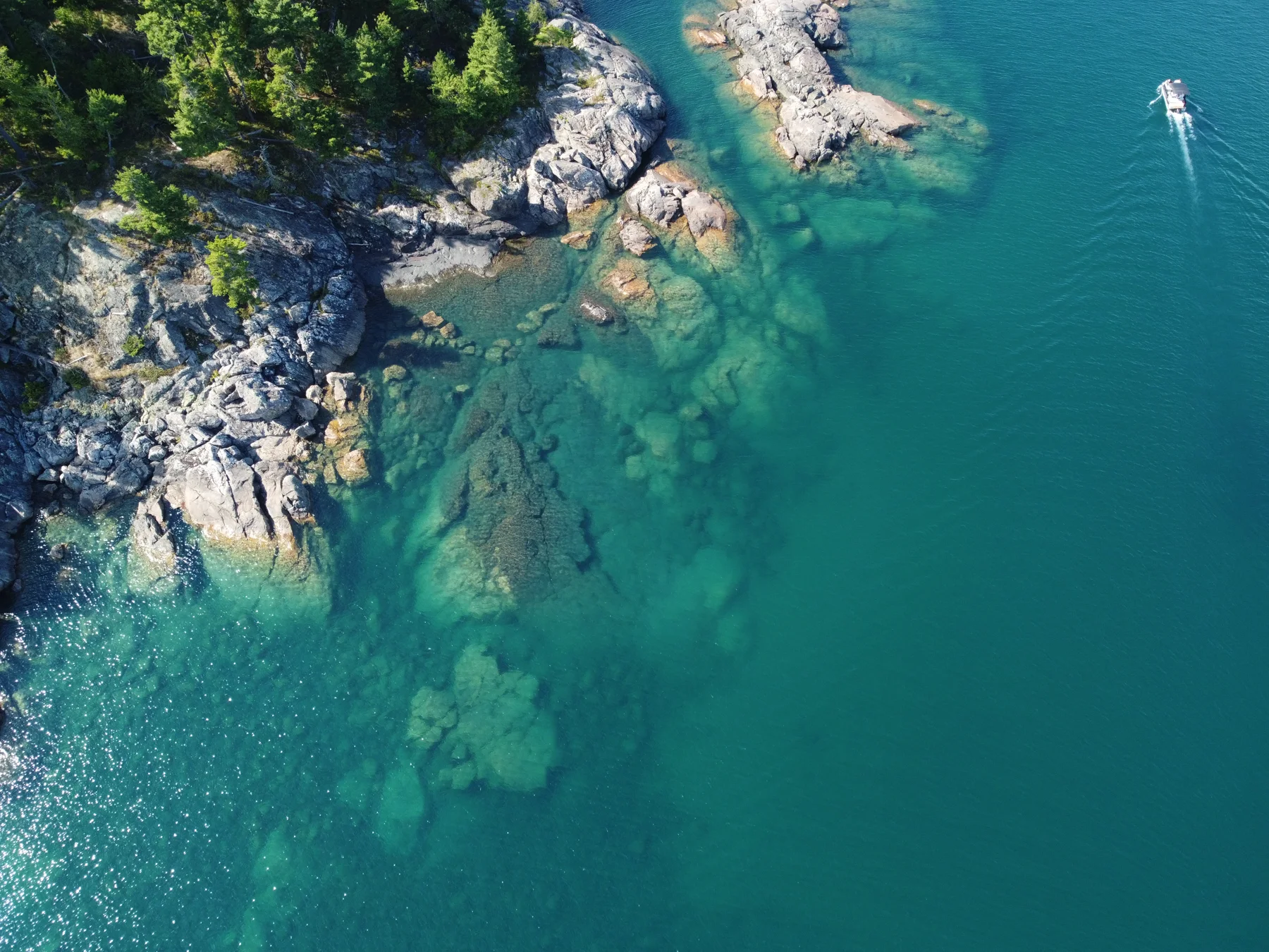
The submerged shoreline
Marquette County · Michigan
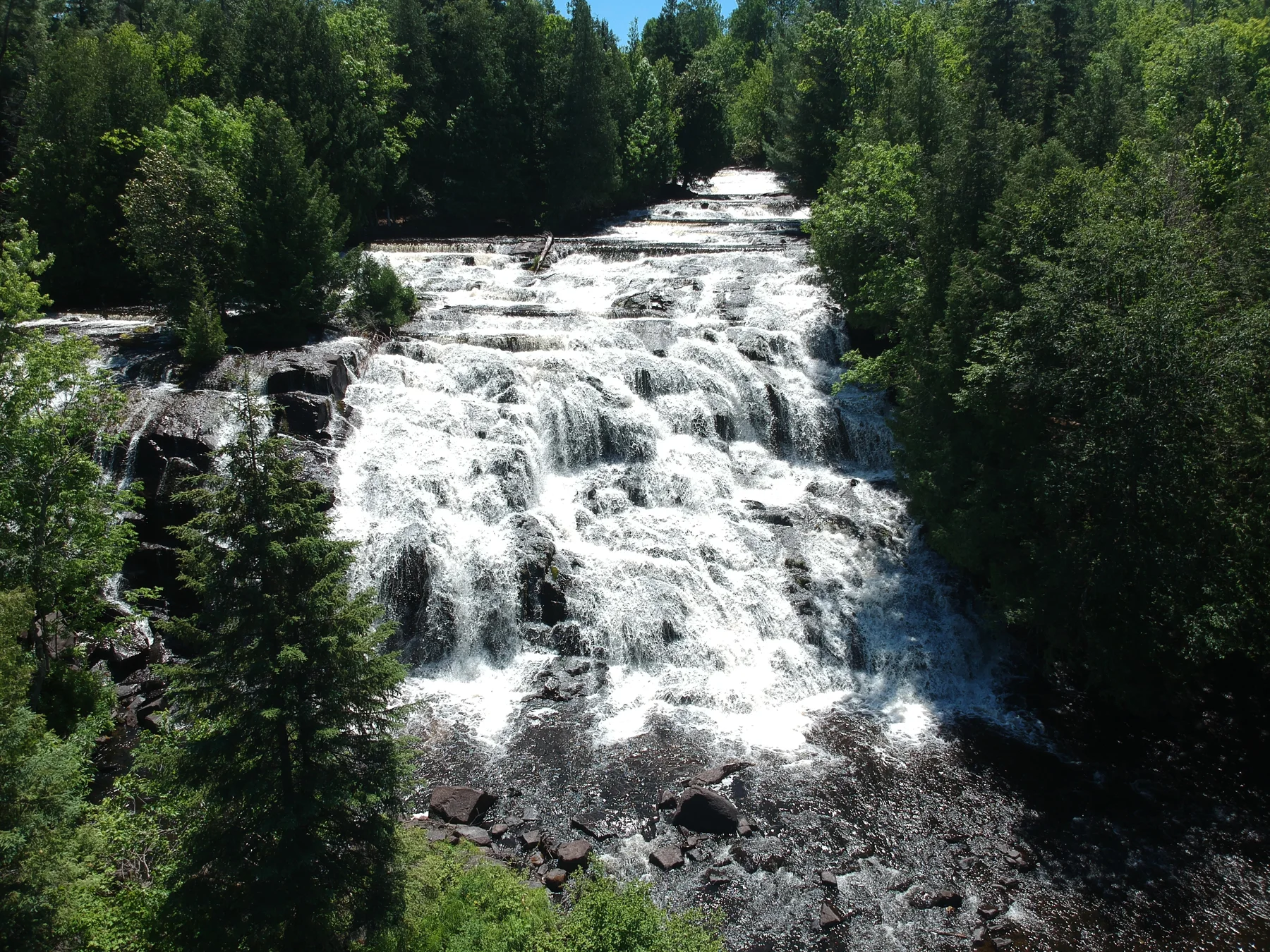
A staircase of falling water
Ontonagon County · Michigan
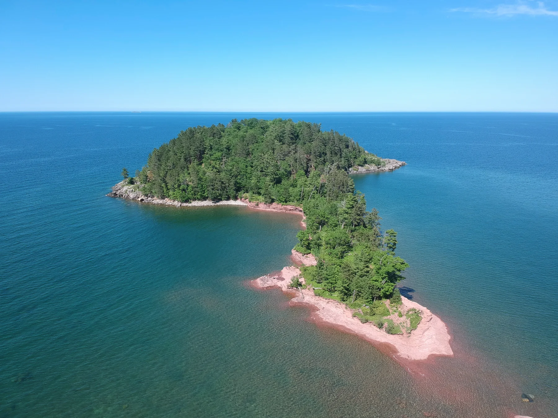
An island in blue
Marquette Township · Lake Superior
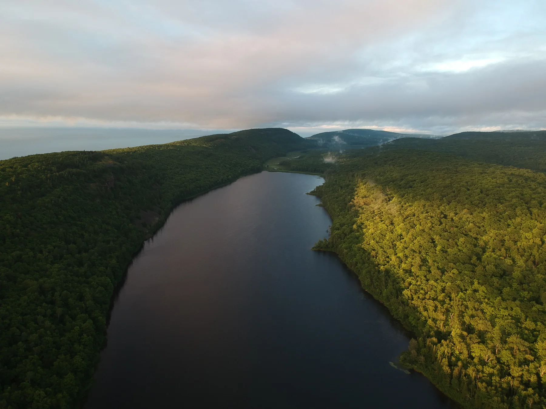
The forest holds a mirror
Lake of the Clouds · Porcupine Mountains
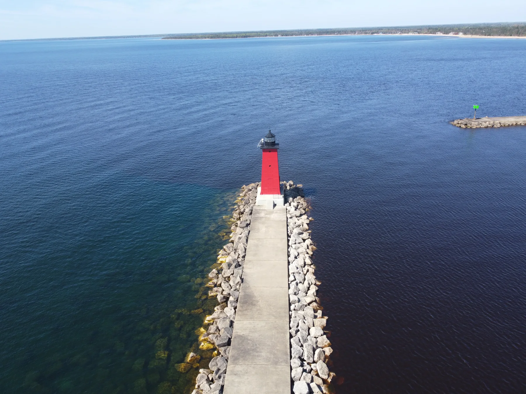
A red beacon at the harbor
Near Schoolcraft County · Michigan
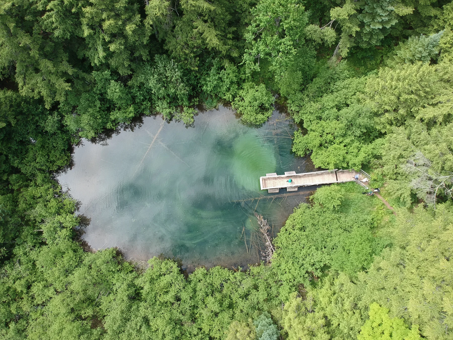
A spring beneath the canopy
Ontonagon County · Michigan
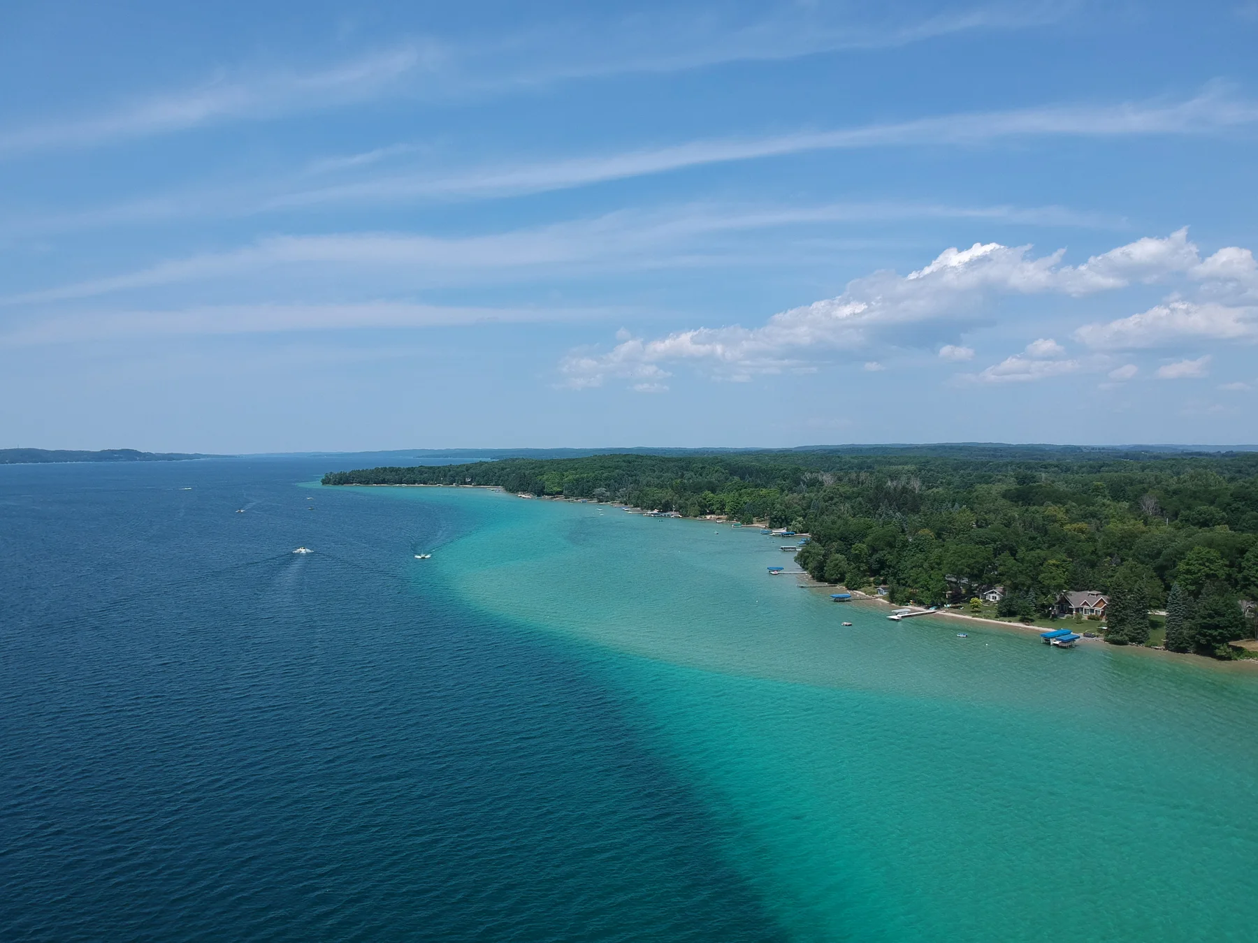
The changing blues of a bay
Antrim County · Michigan
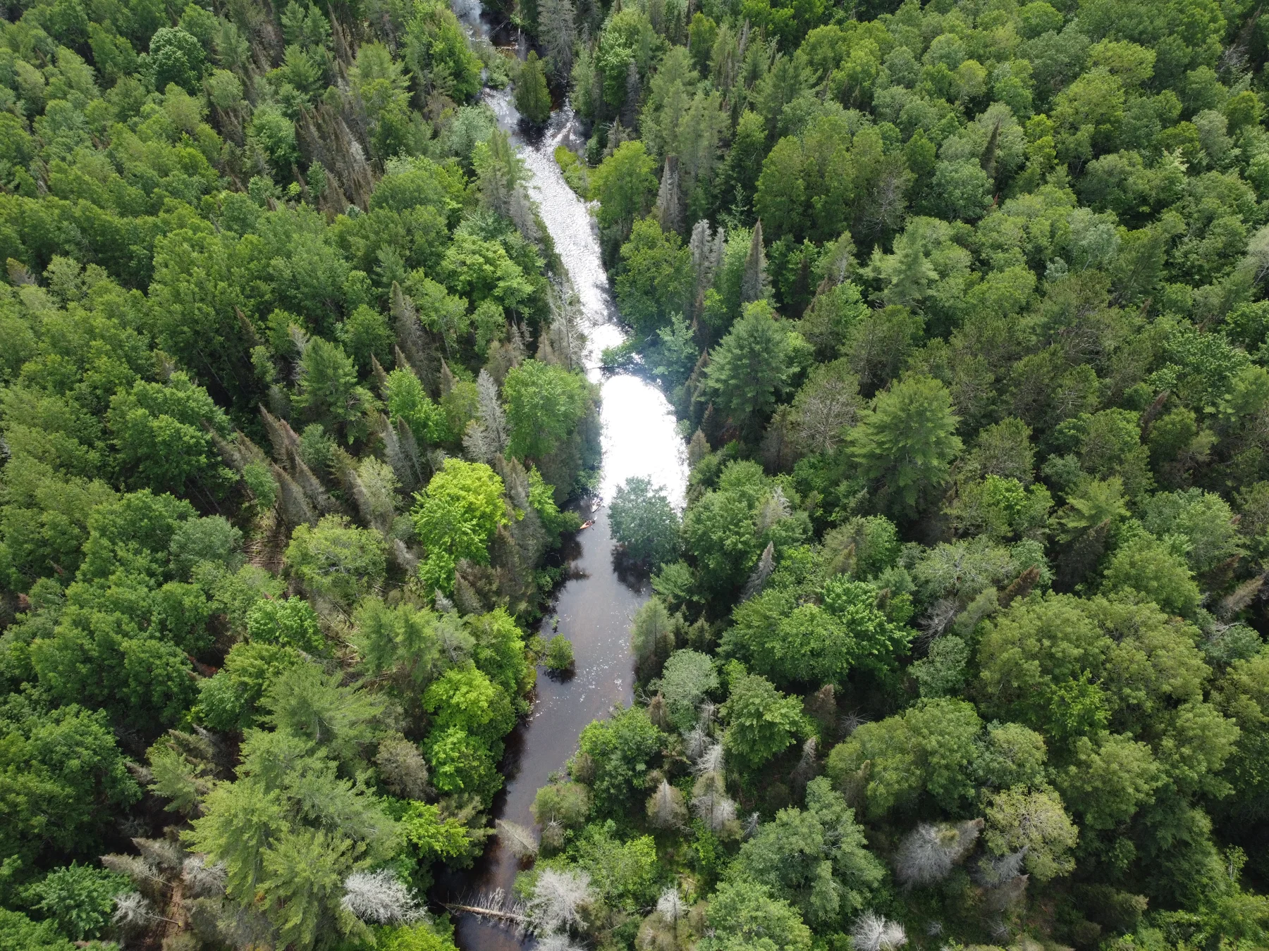
The falling water corridor
Alger County · Michigan
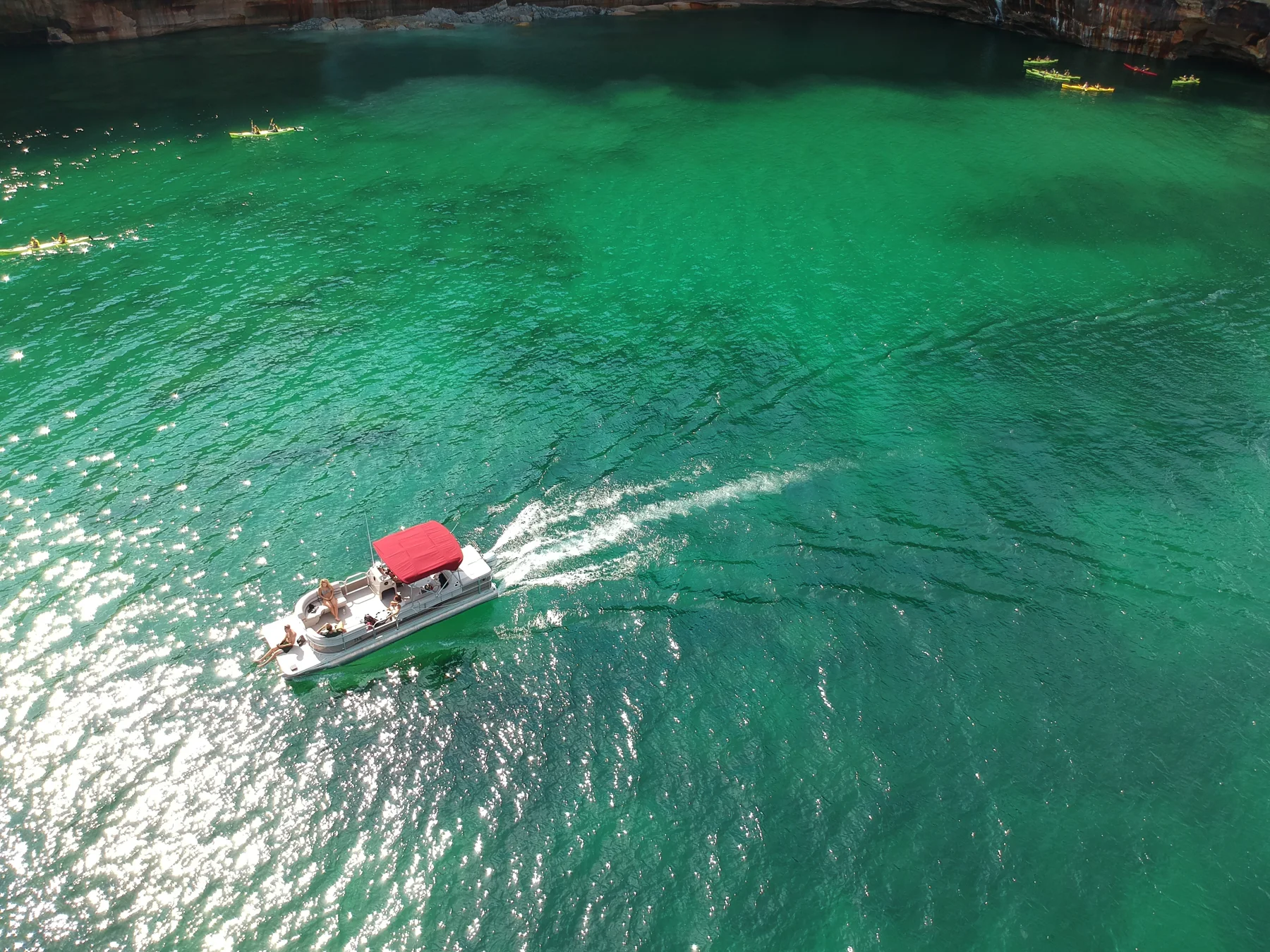
A wake through emerald water
Alger County · Michigan
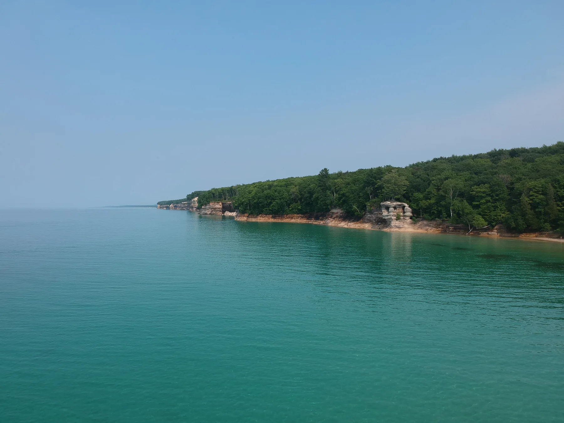
The quiet beneath the cliffs
Alger County · Michigan
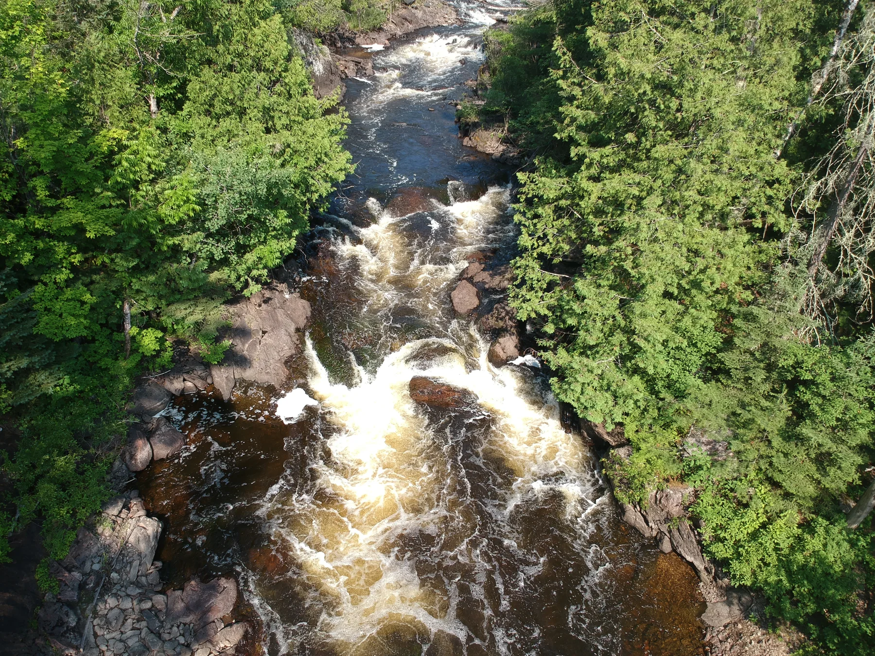
Whitewater in the forest
Dickinson County · Michigan
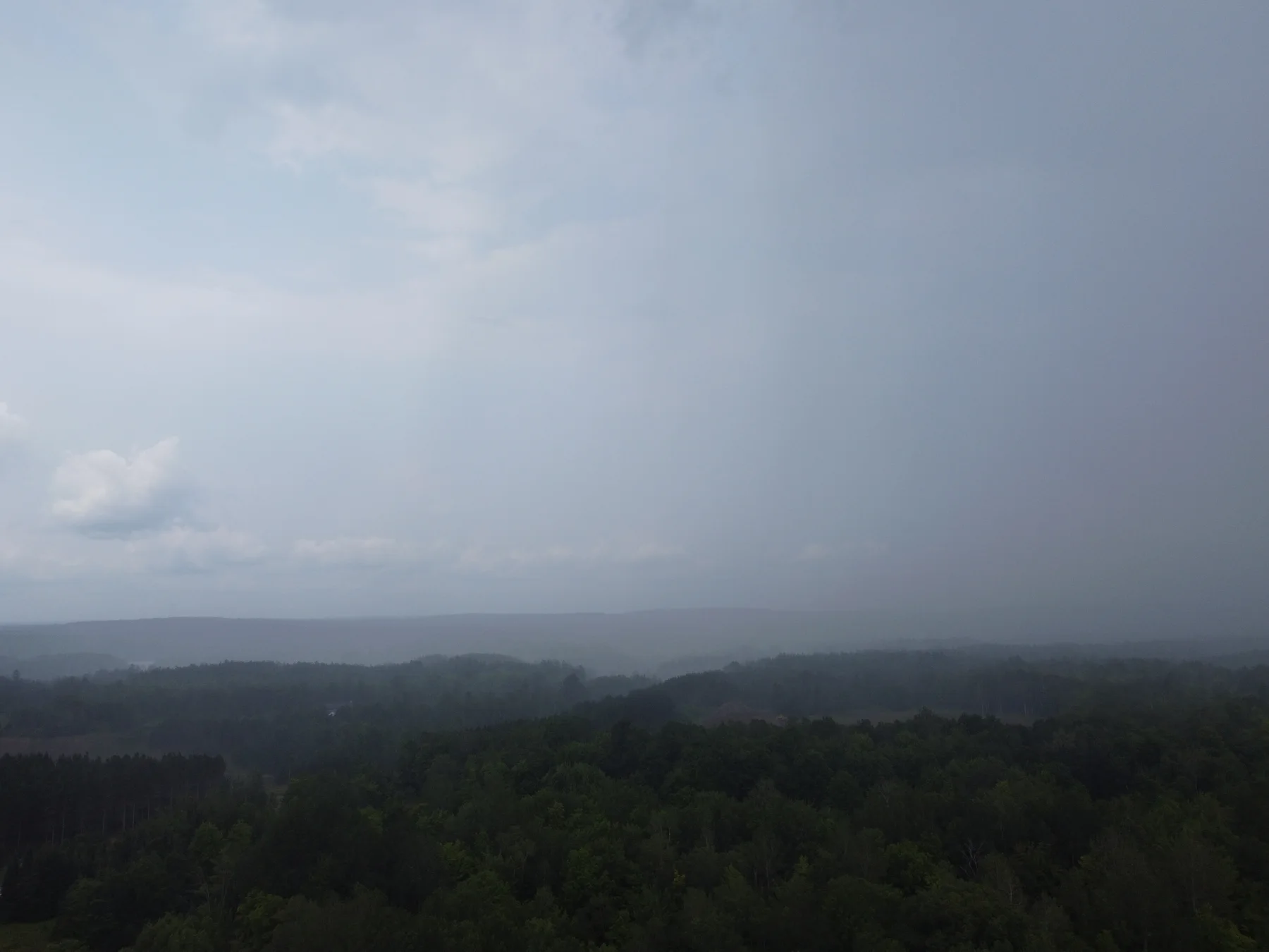
Weather moving over the forest
Florence County · Wisconsin
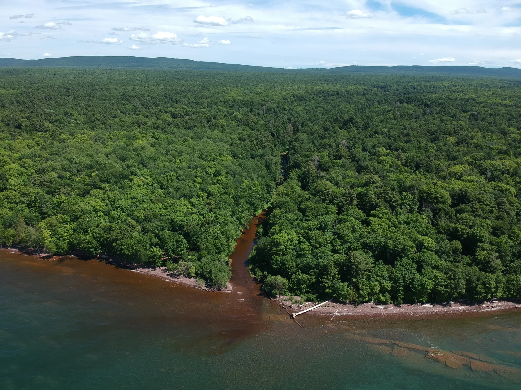
Where the river meets the lake
Western Upper Peninsula · Lake Superior
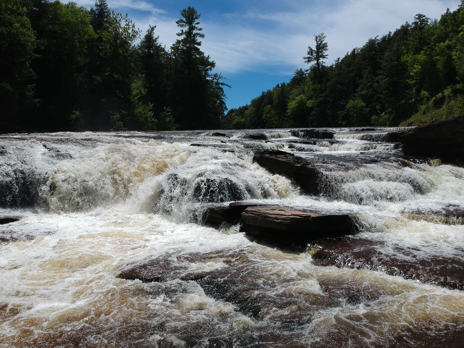
Water over the ledges
Gogebic County · Michigan
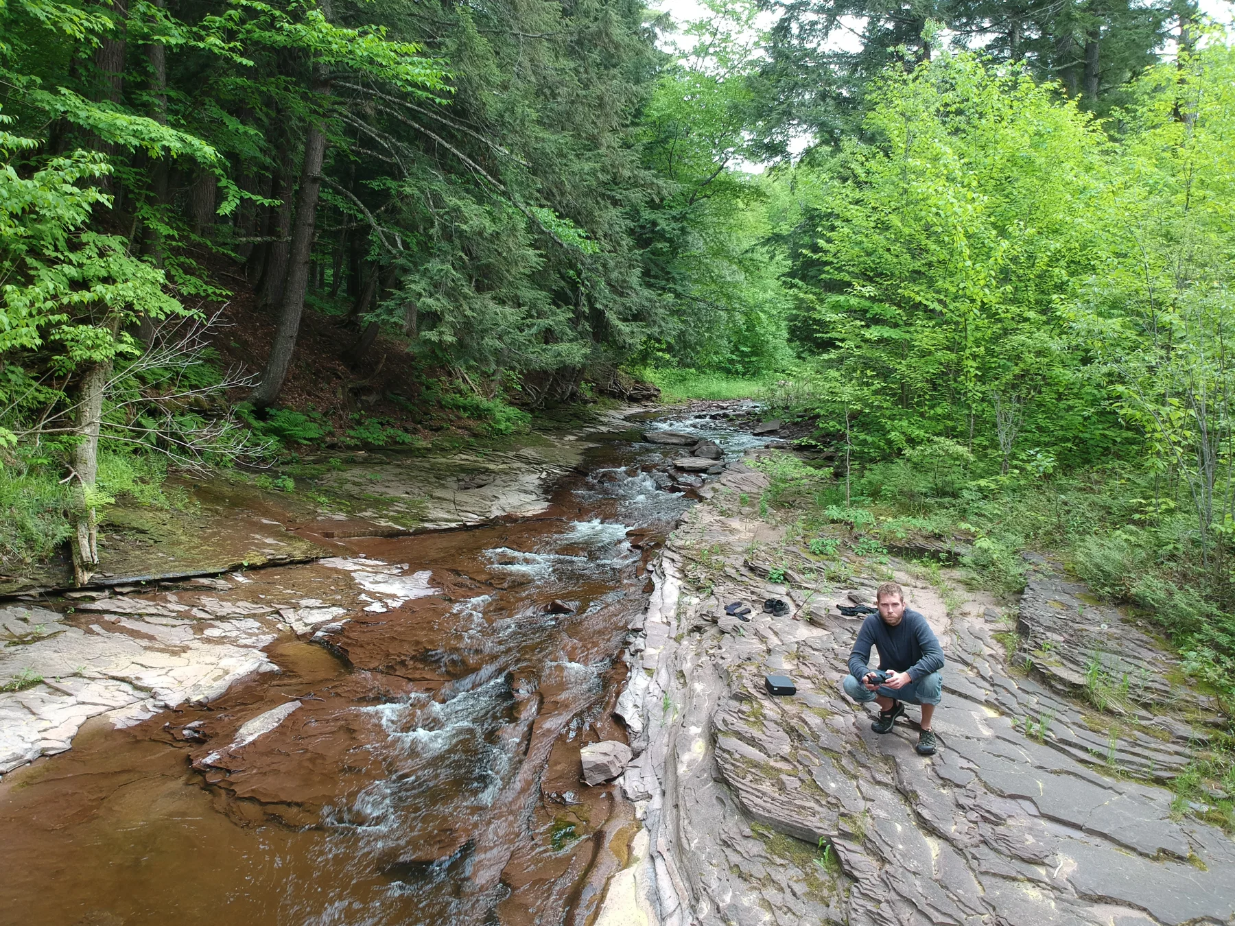
At the edge of the stream
Gogebic County · Michigan
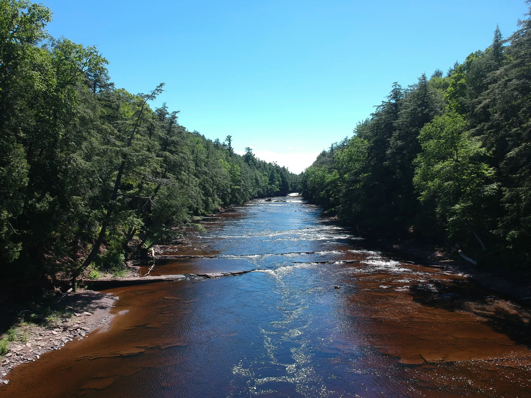
A river the color of tea
Gogebic County · Michigan
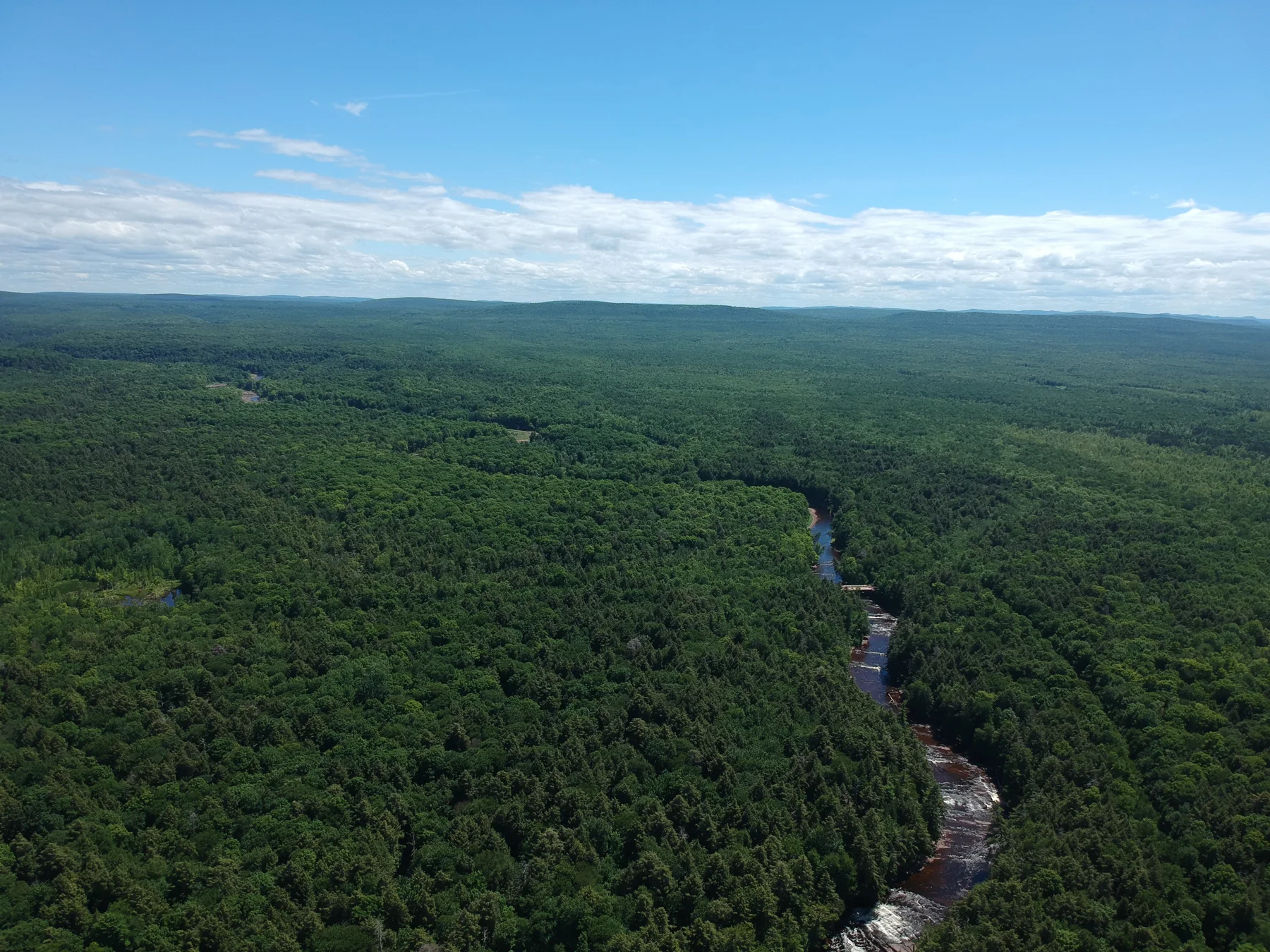
The watershed from above
Gogebic County · Michigan
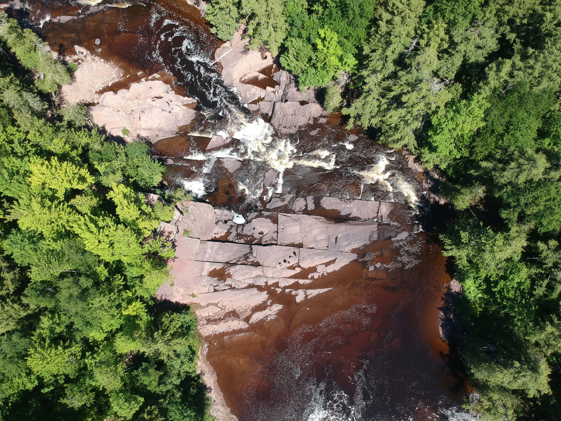
The river’s stone geometry
Gogebic County · Michigan
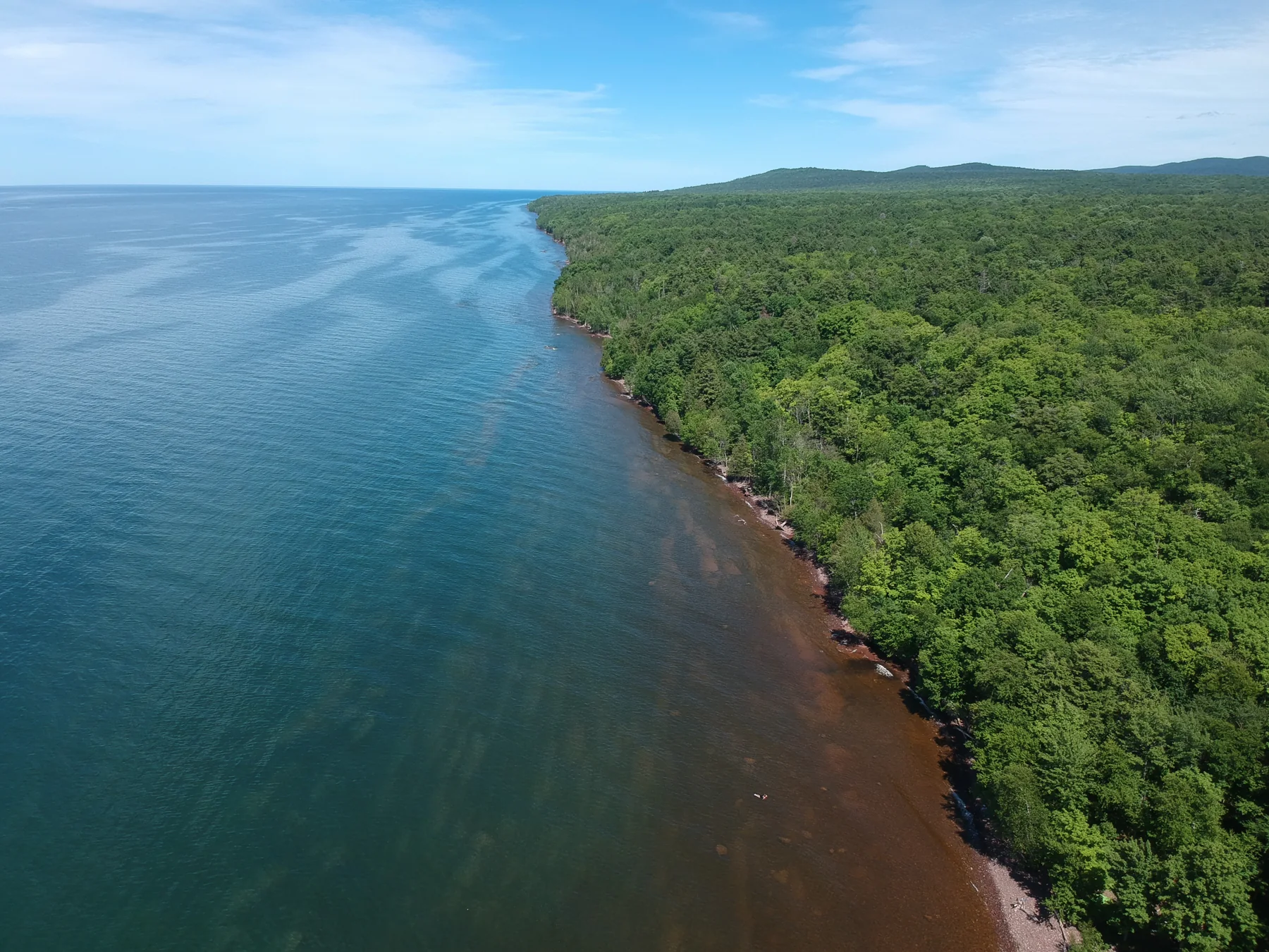
Along the inland sea
Western Upper Peninsula · Lake Superior
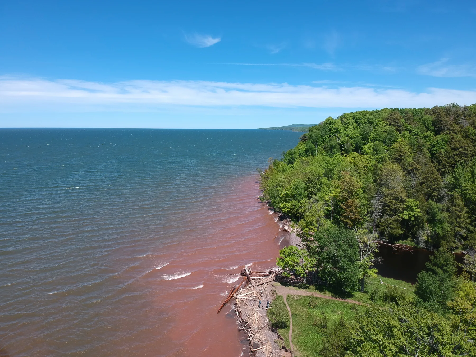
The forest meets red shallows
Gogebic County · Michigan
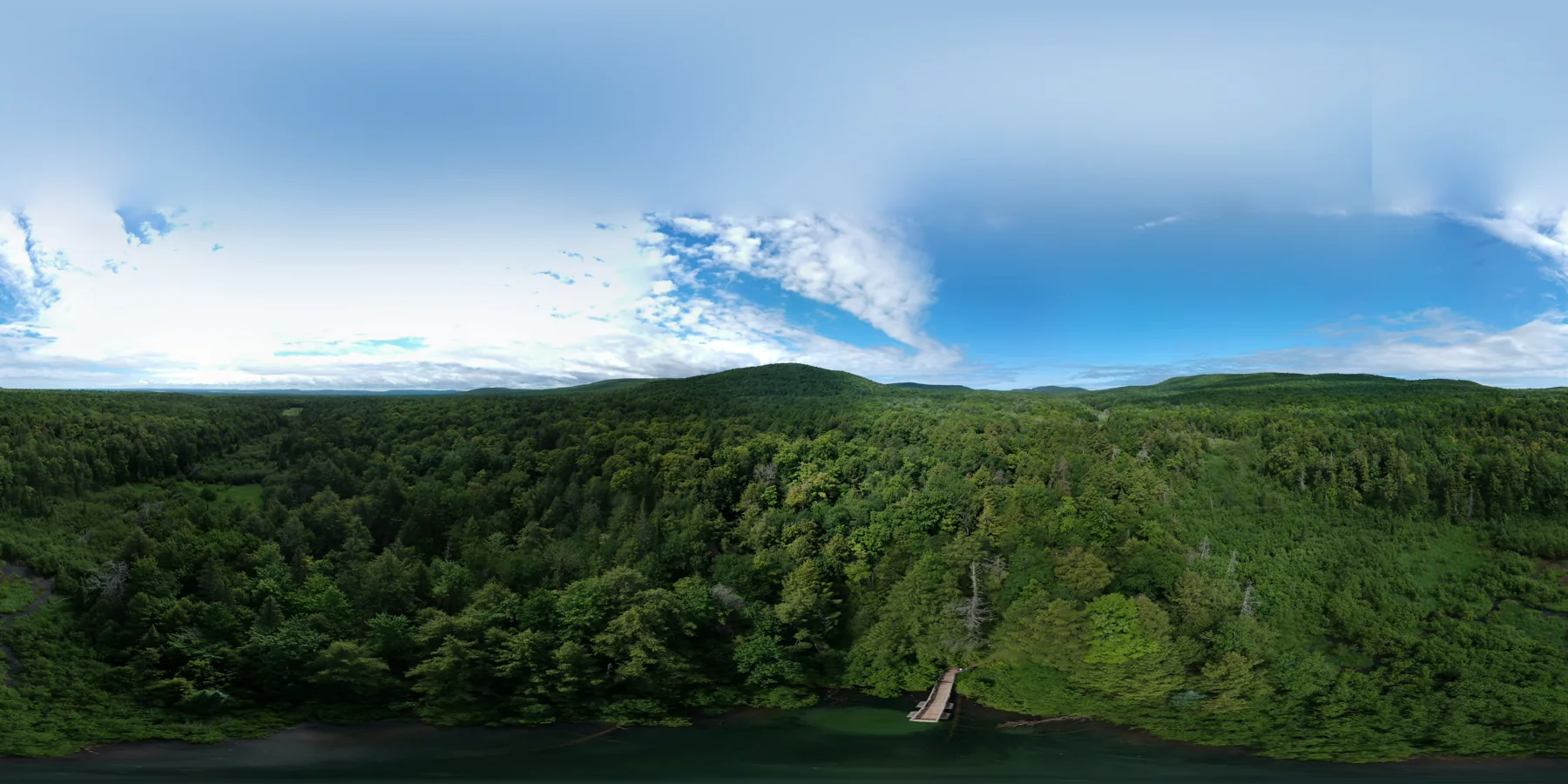
Union Spring · a forest panorama
Union Spring · location unverified

At the water’s edge
Location not recorded
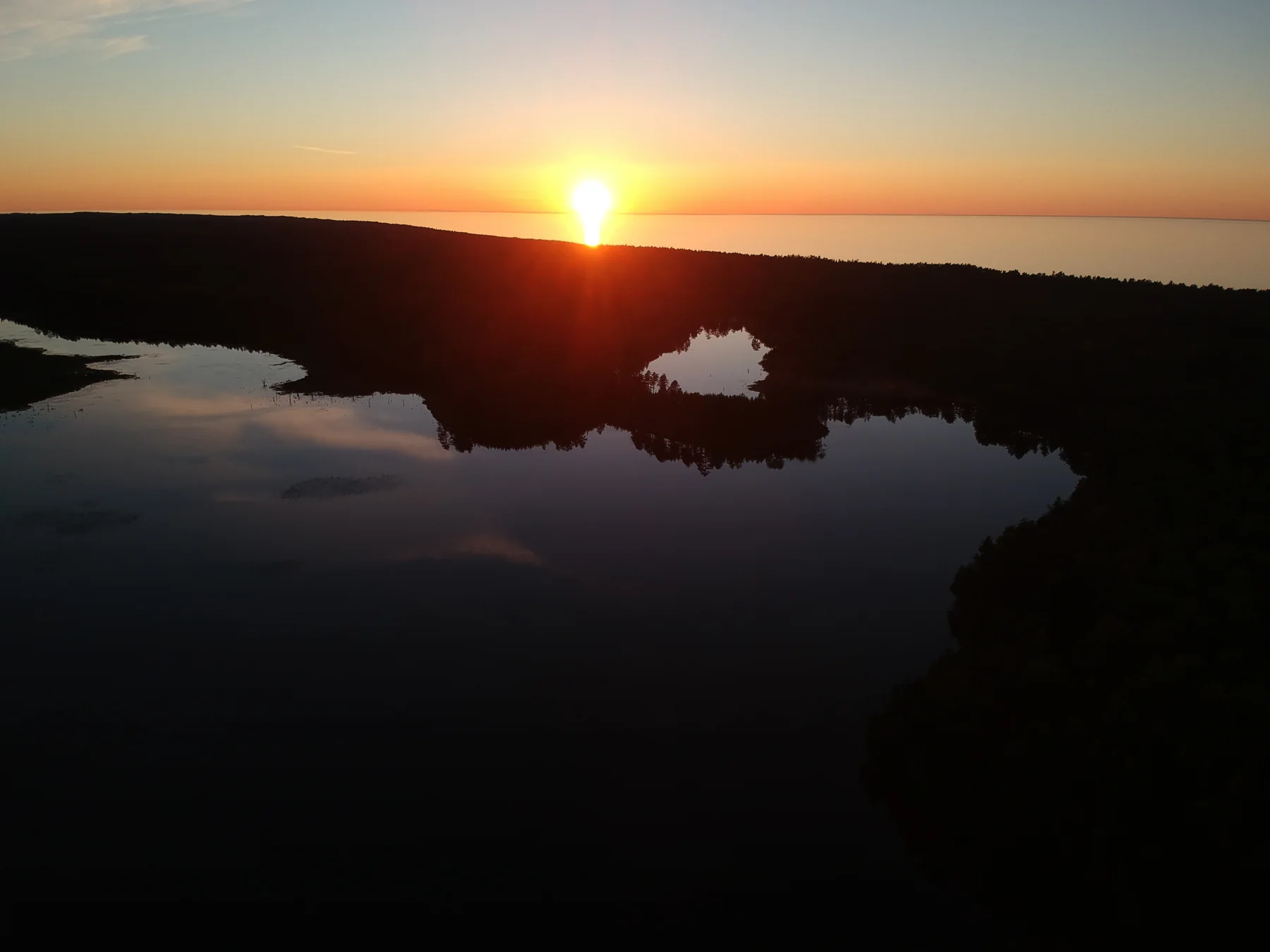
The last light inland
McMillan Township · Luce County
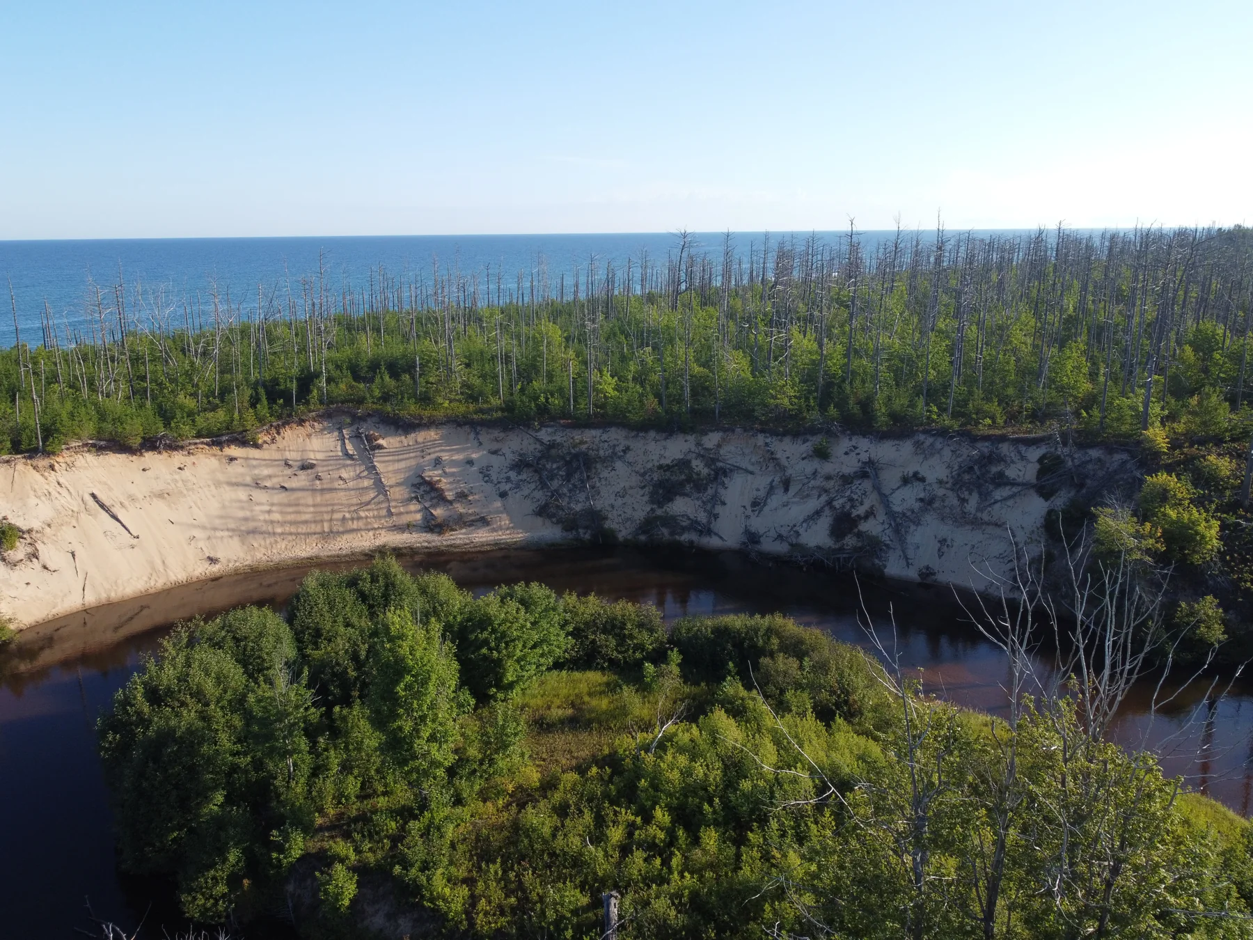
A river behind the dunes
Two Hearted River area · Luce County
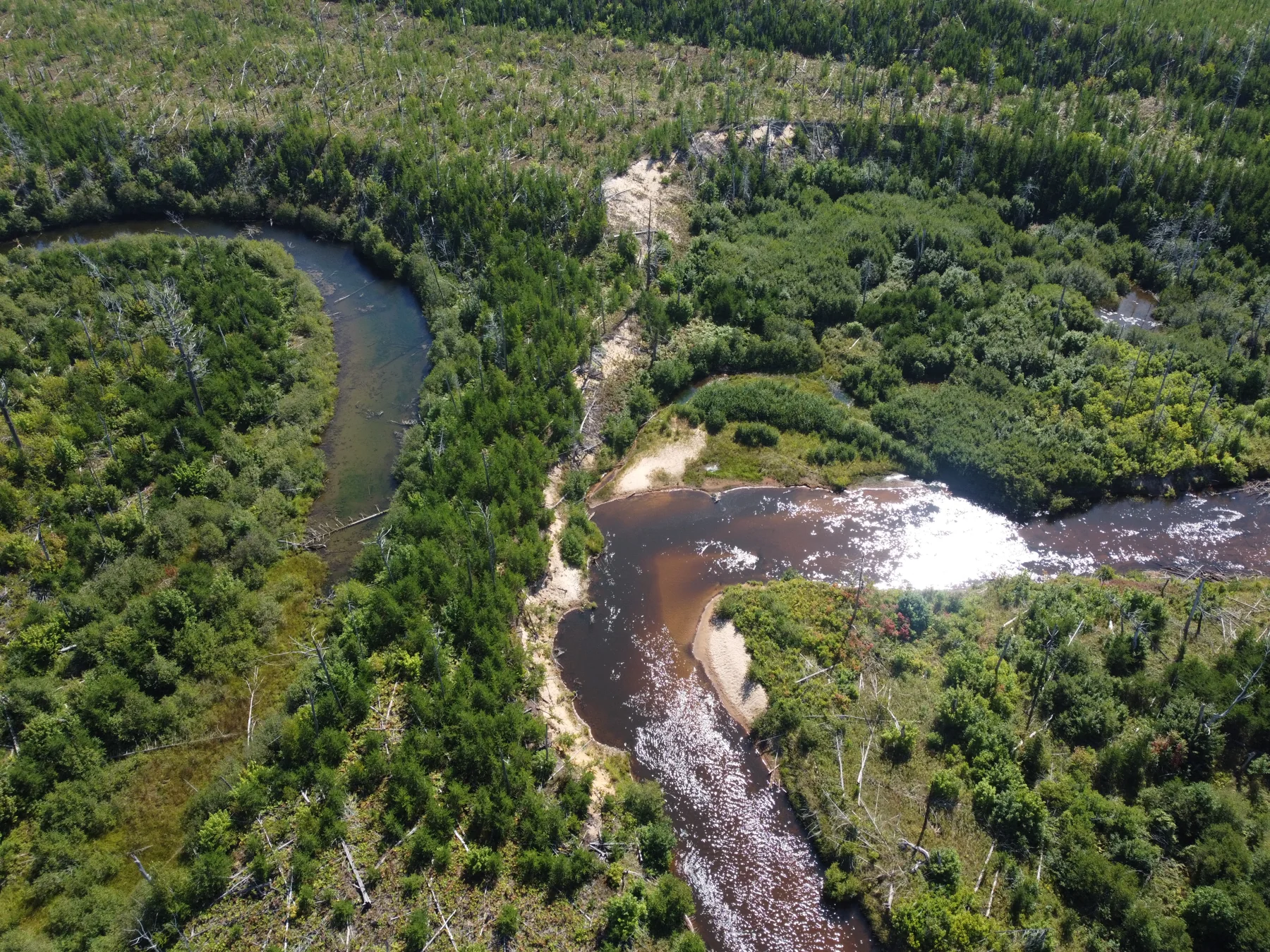
The river’s long curve
Two Hearted River area · Luce County
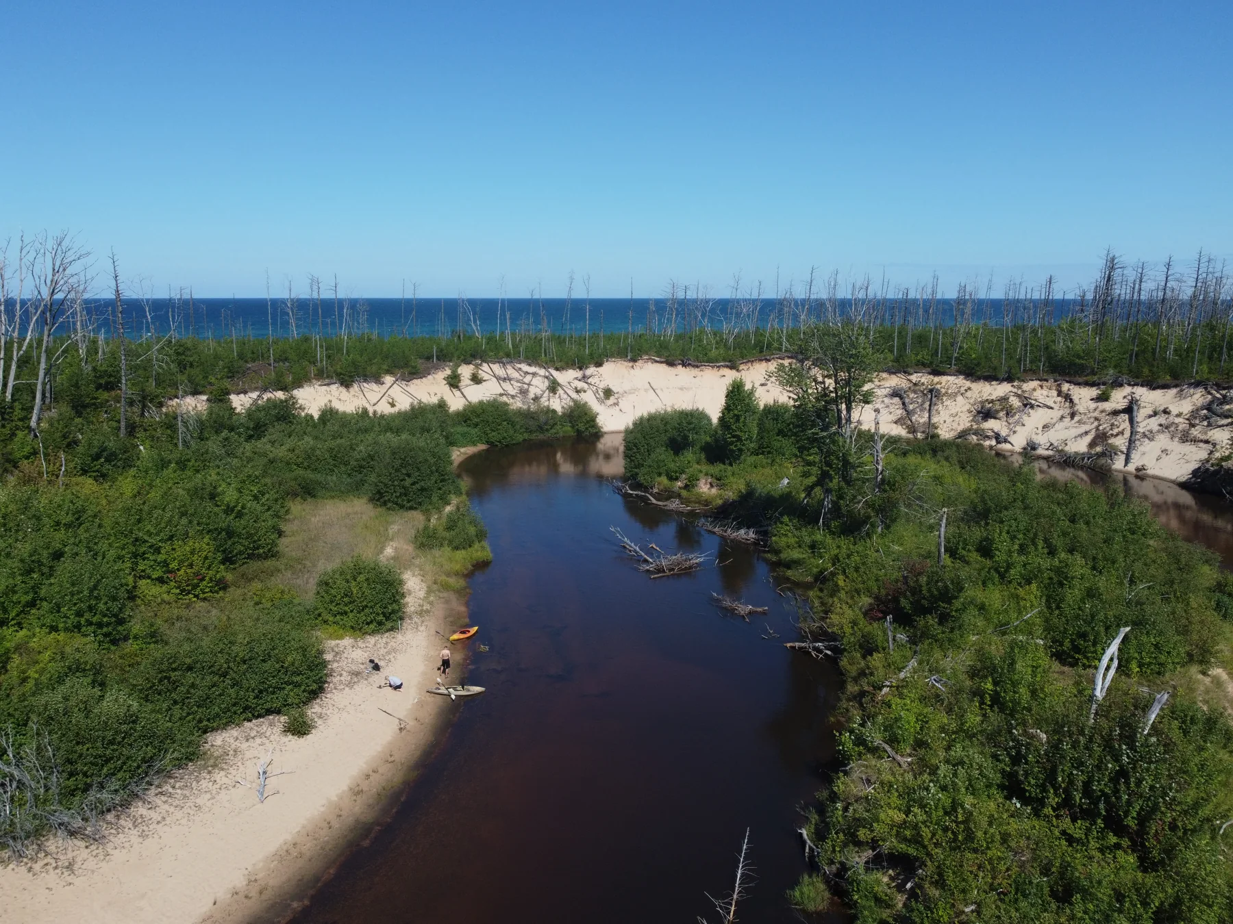
Between forest and sand
Two Hearted River area · Luce County
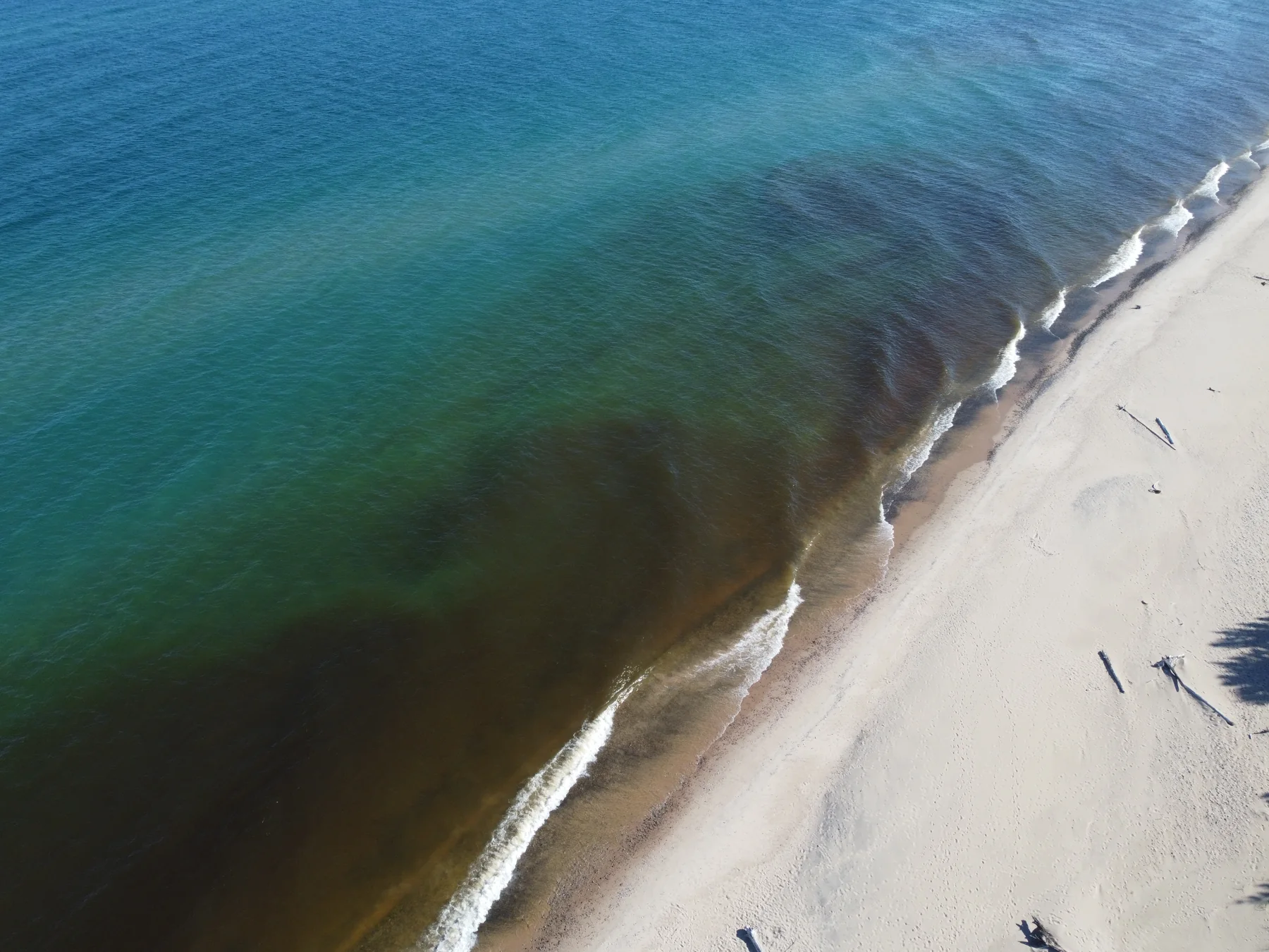
The shore, drawn in light
Two Hearted coast · Lake Superior
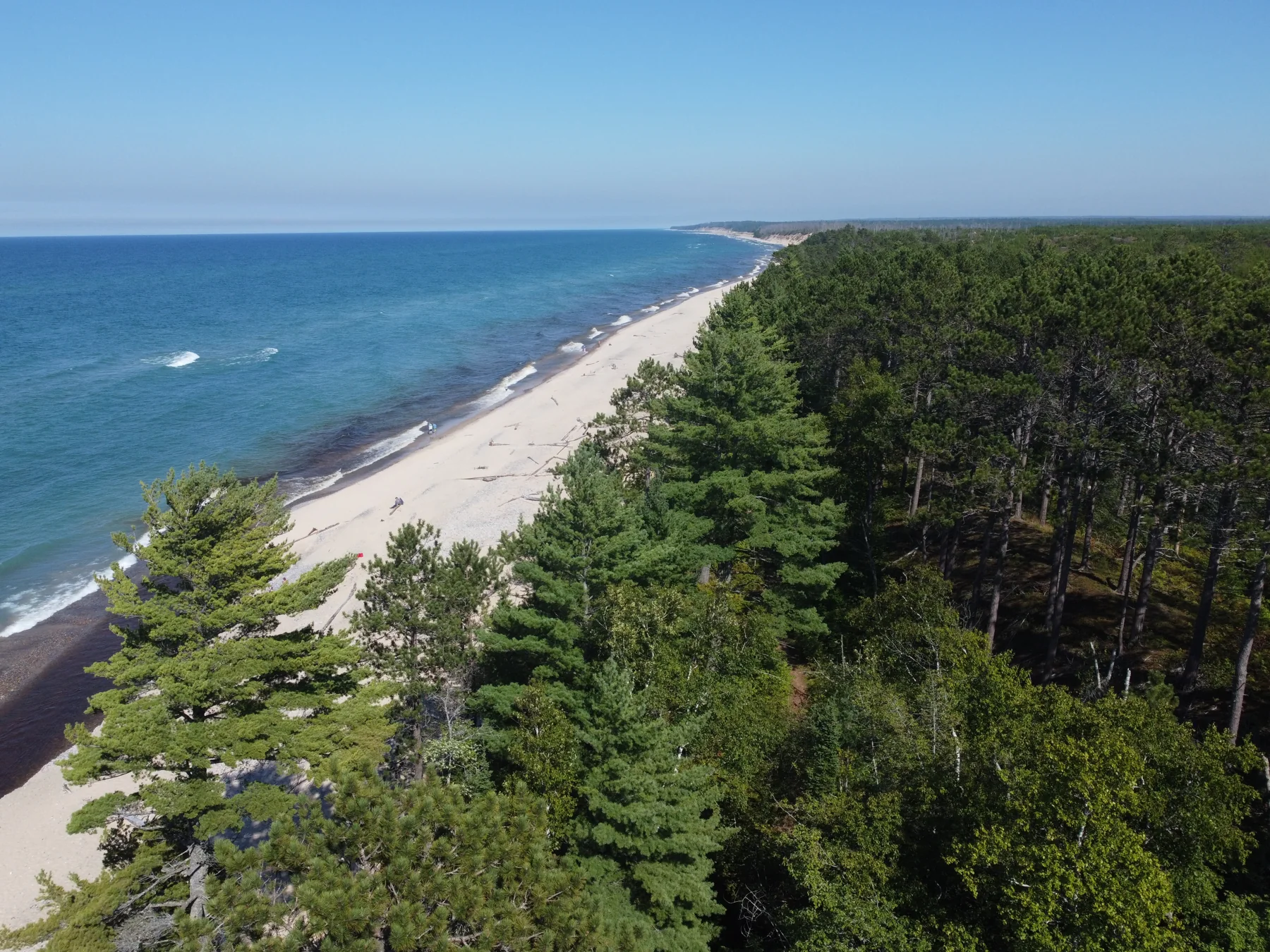
A coastline without hurry
Two Hearted coast · Lake Superior
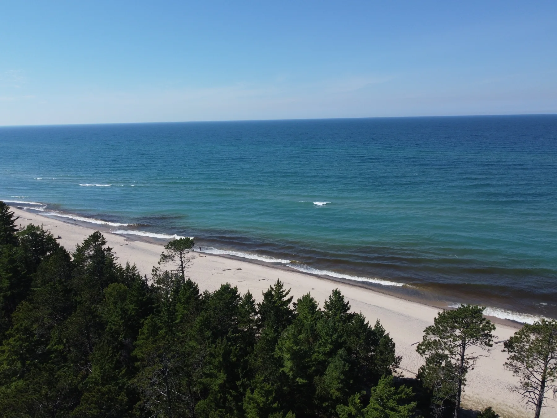
Blue beyond the trees
Two Hearted coast · Lake Superior
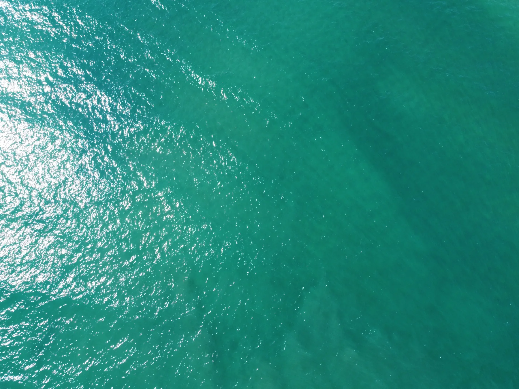
The color of clear water
Two Hearted coast · Lake Superior
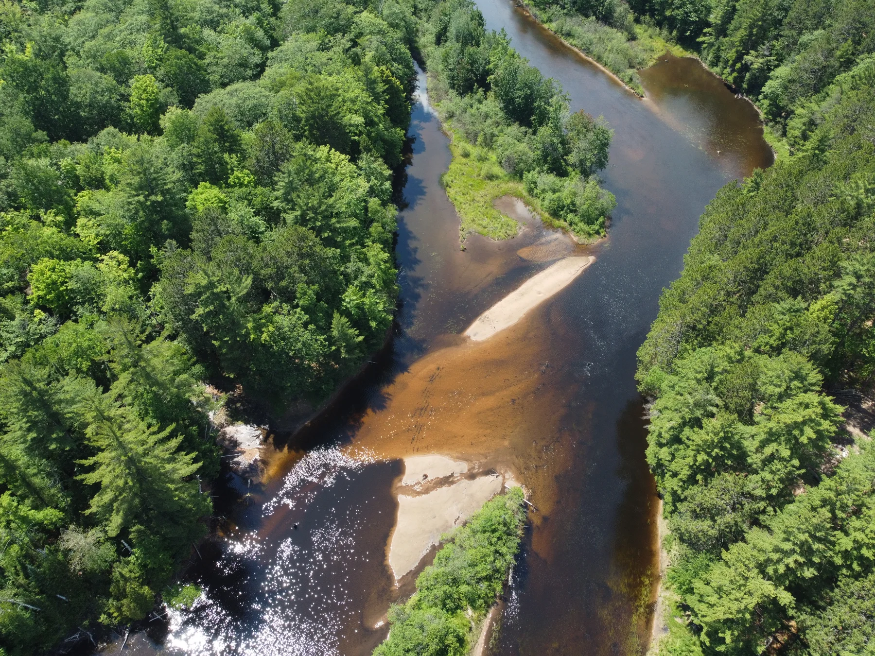
The river draws an island
Marquette County · Michigan
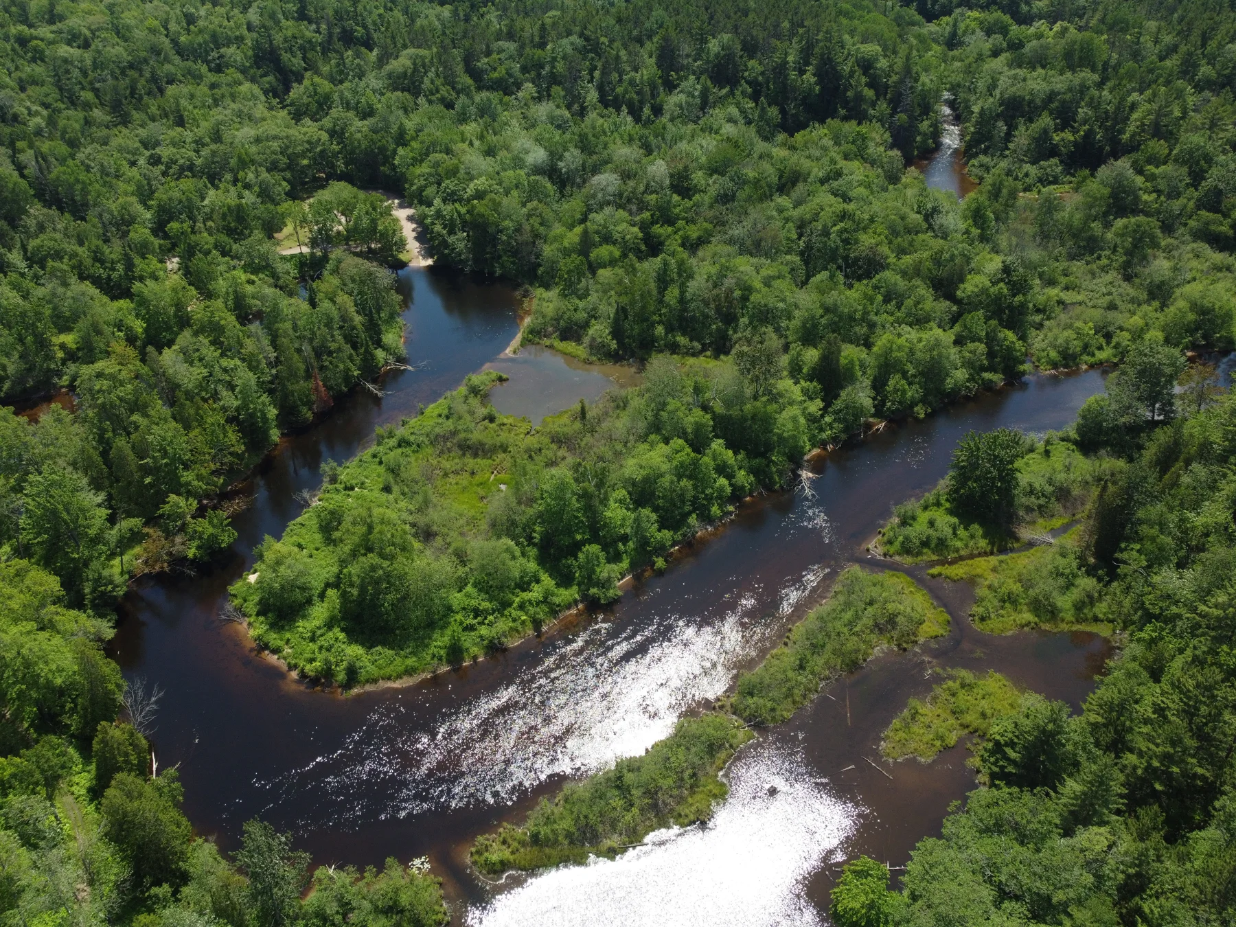
Channels through the green
Marquette County · Michigan
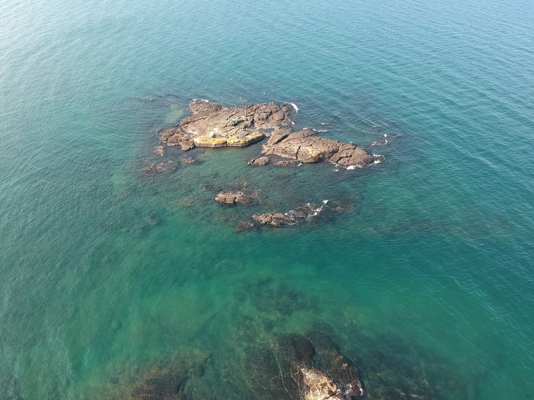
Stone beneath the surface
Marquette coast · Lake Superior
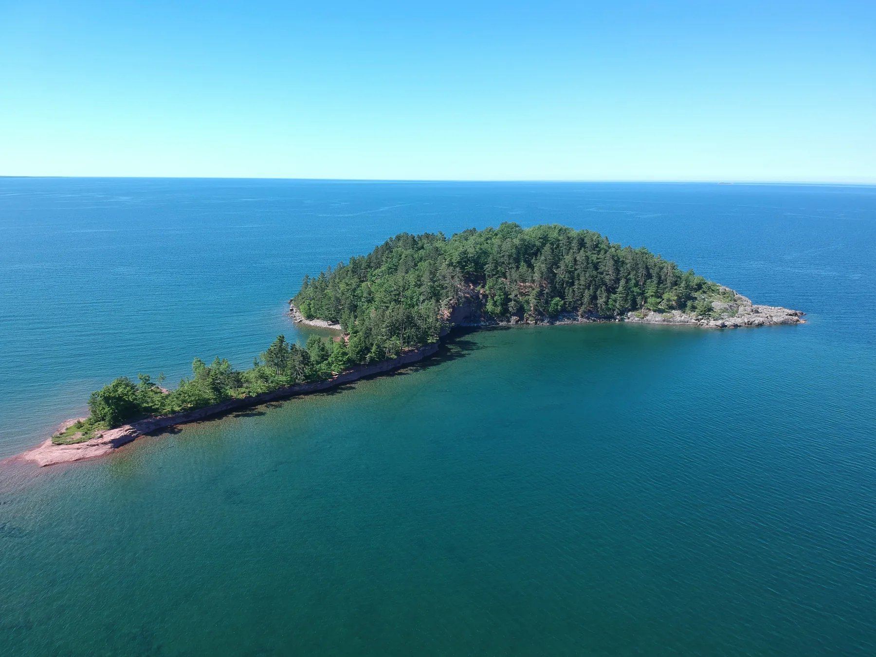
A small world offshore
Marquette Township · Lake Superior
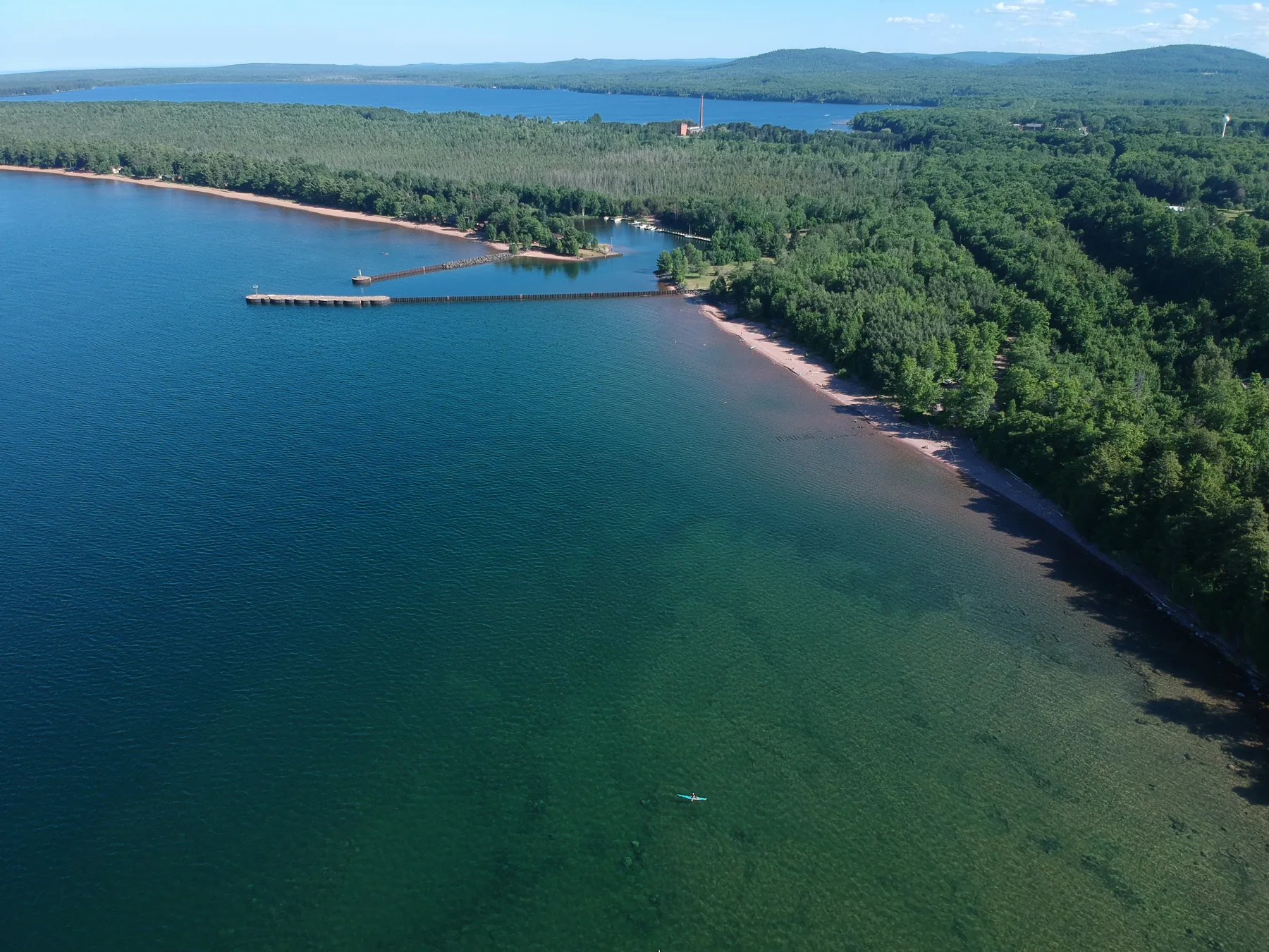
The sheltered shore
Burns Landing / Big Bay area
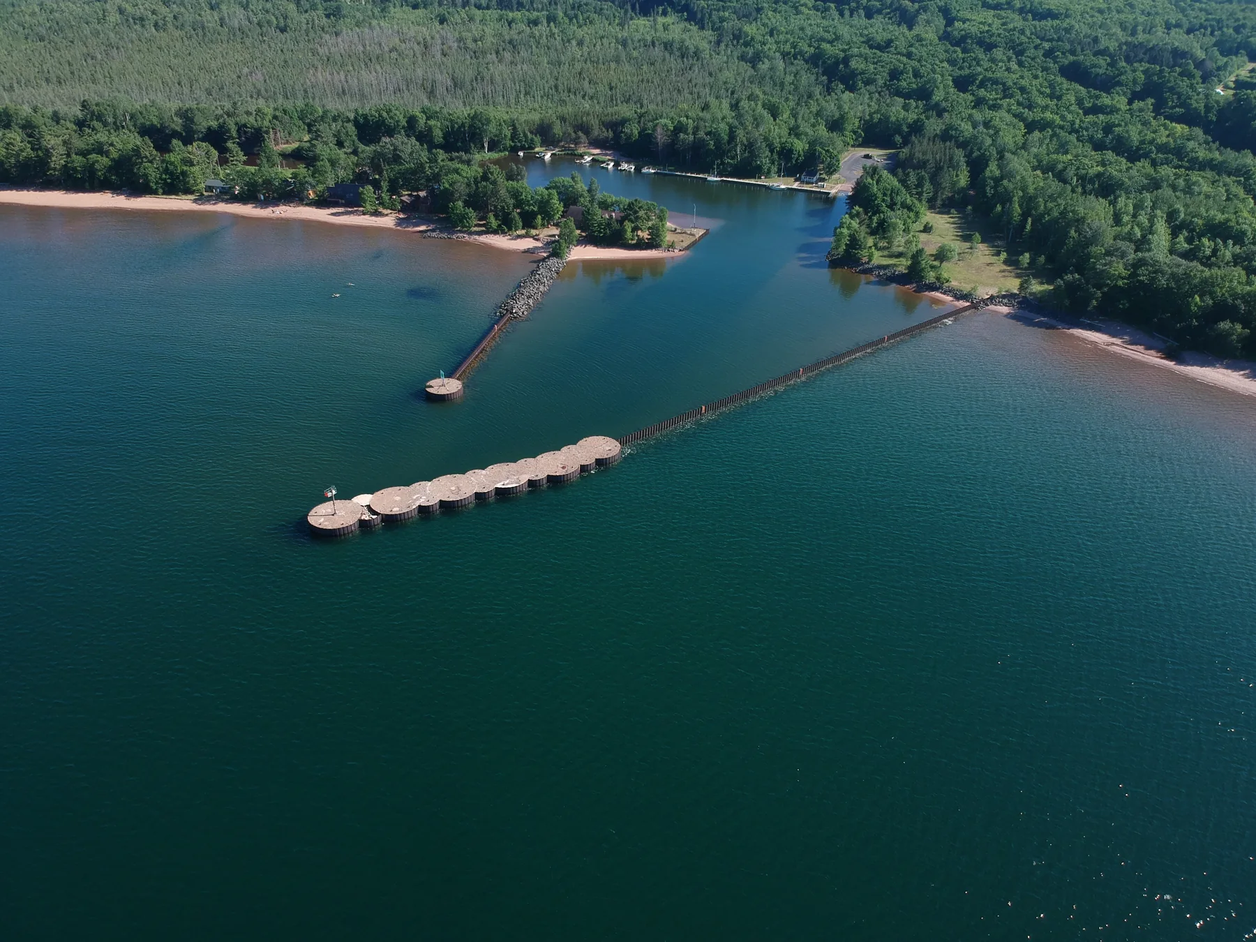
The harbor’s embrace
Burns Landing / Big Bay area
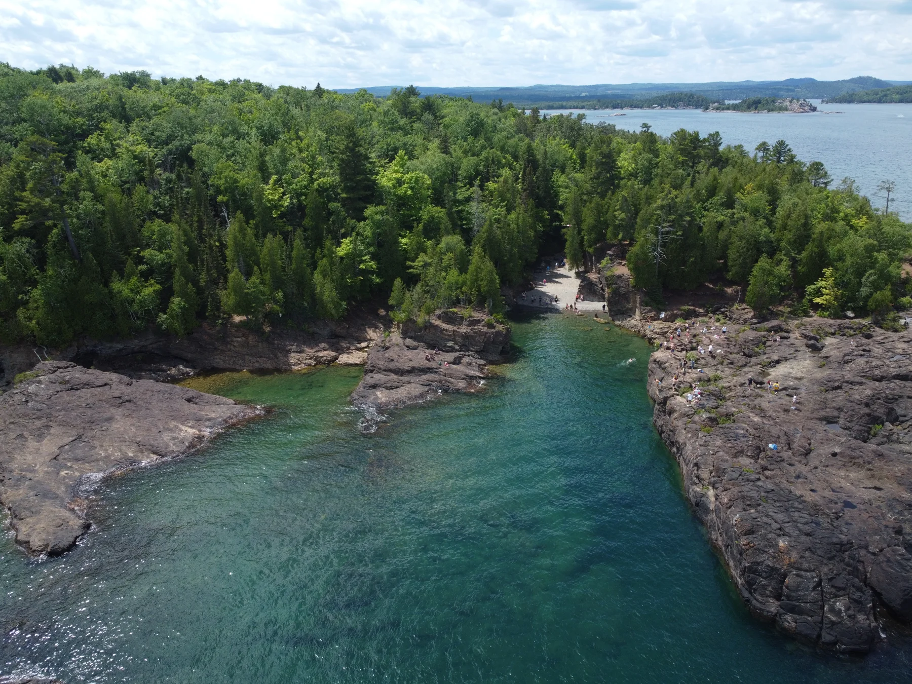
A cove held by stone
Marquette County · Michigan
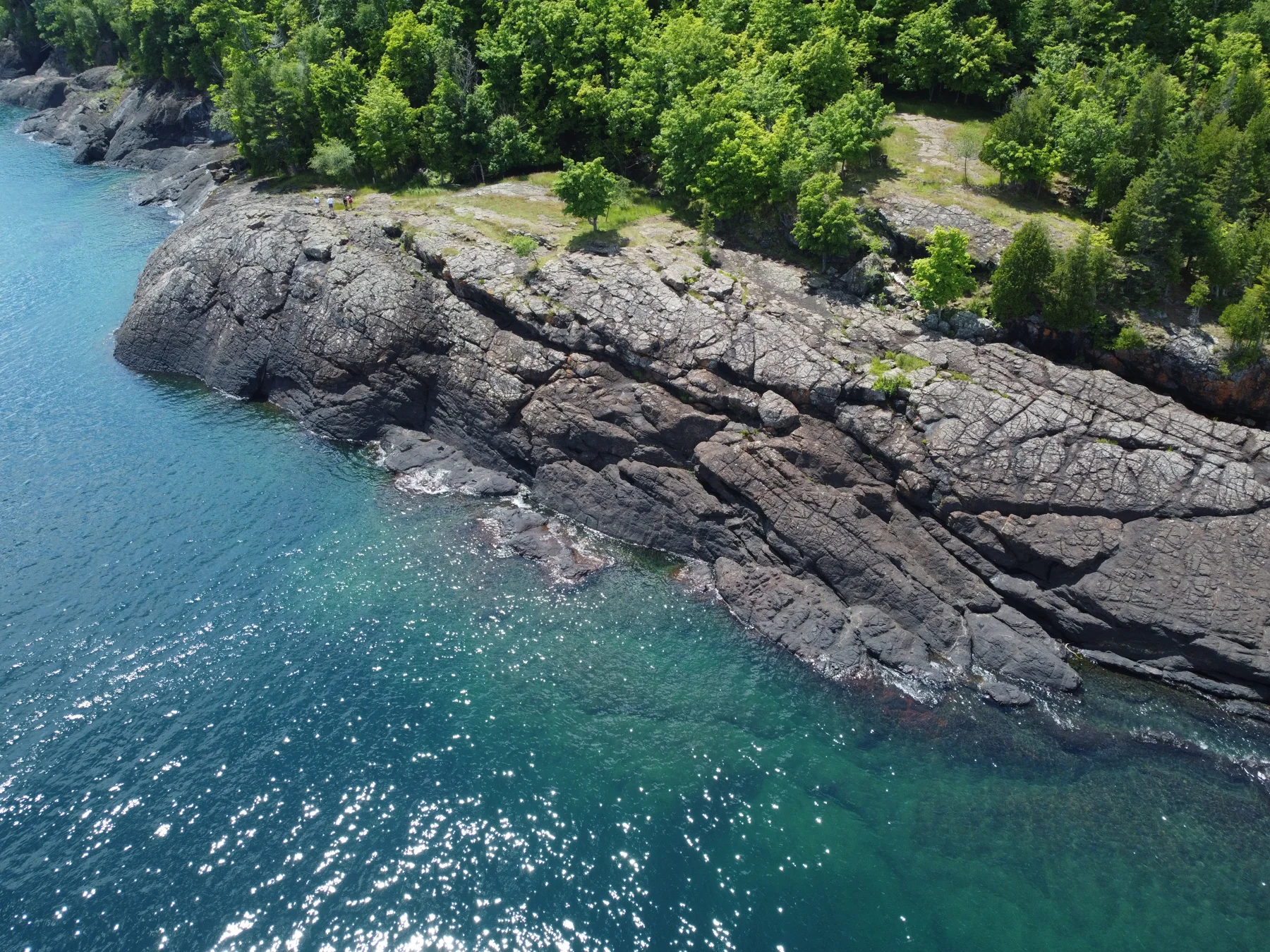
Dark rock, clear water
Marquette County · Michigan
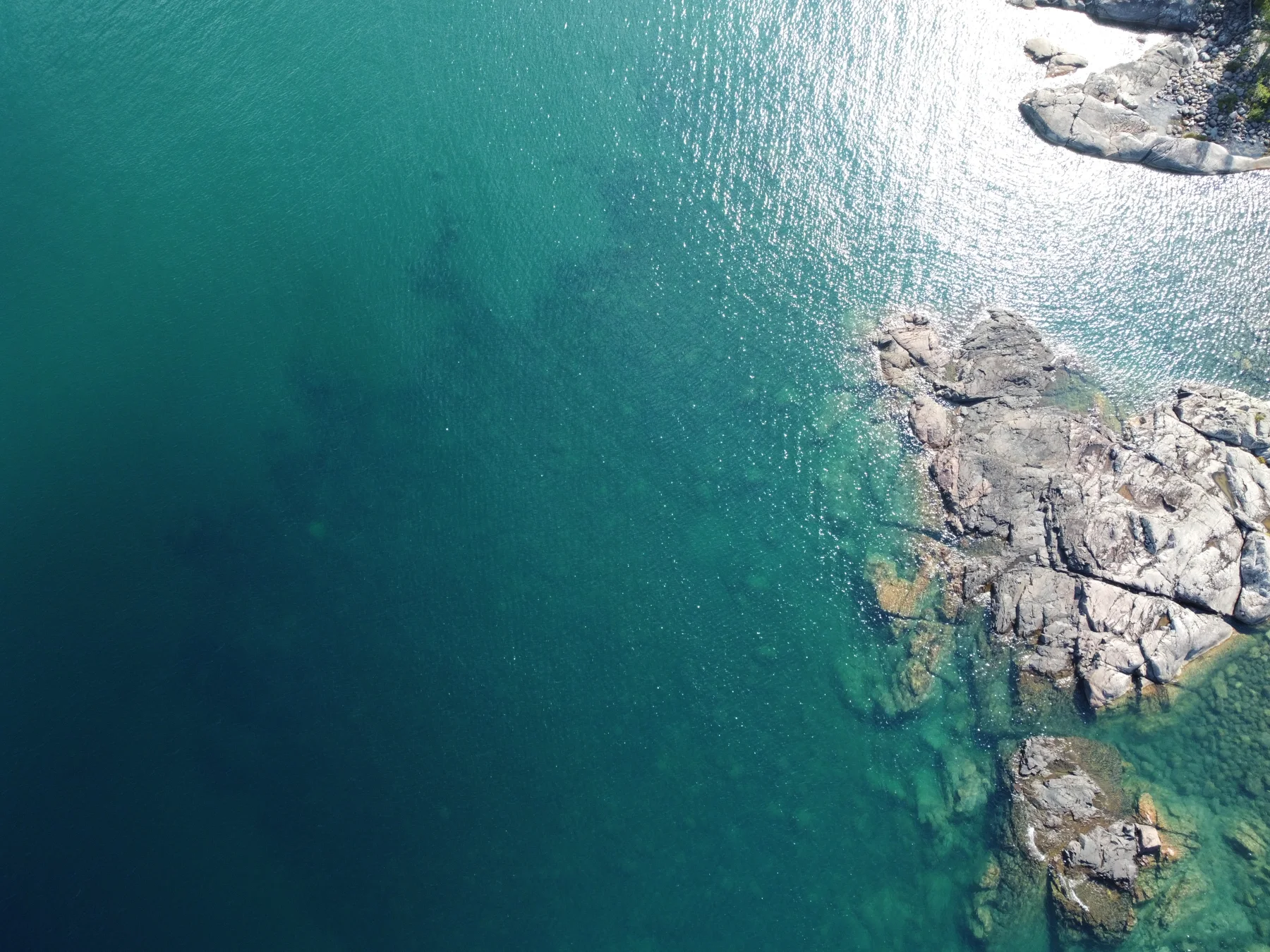
Light on the rocky margin
Marquette County · Michigan
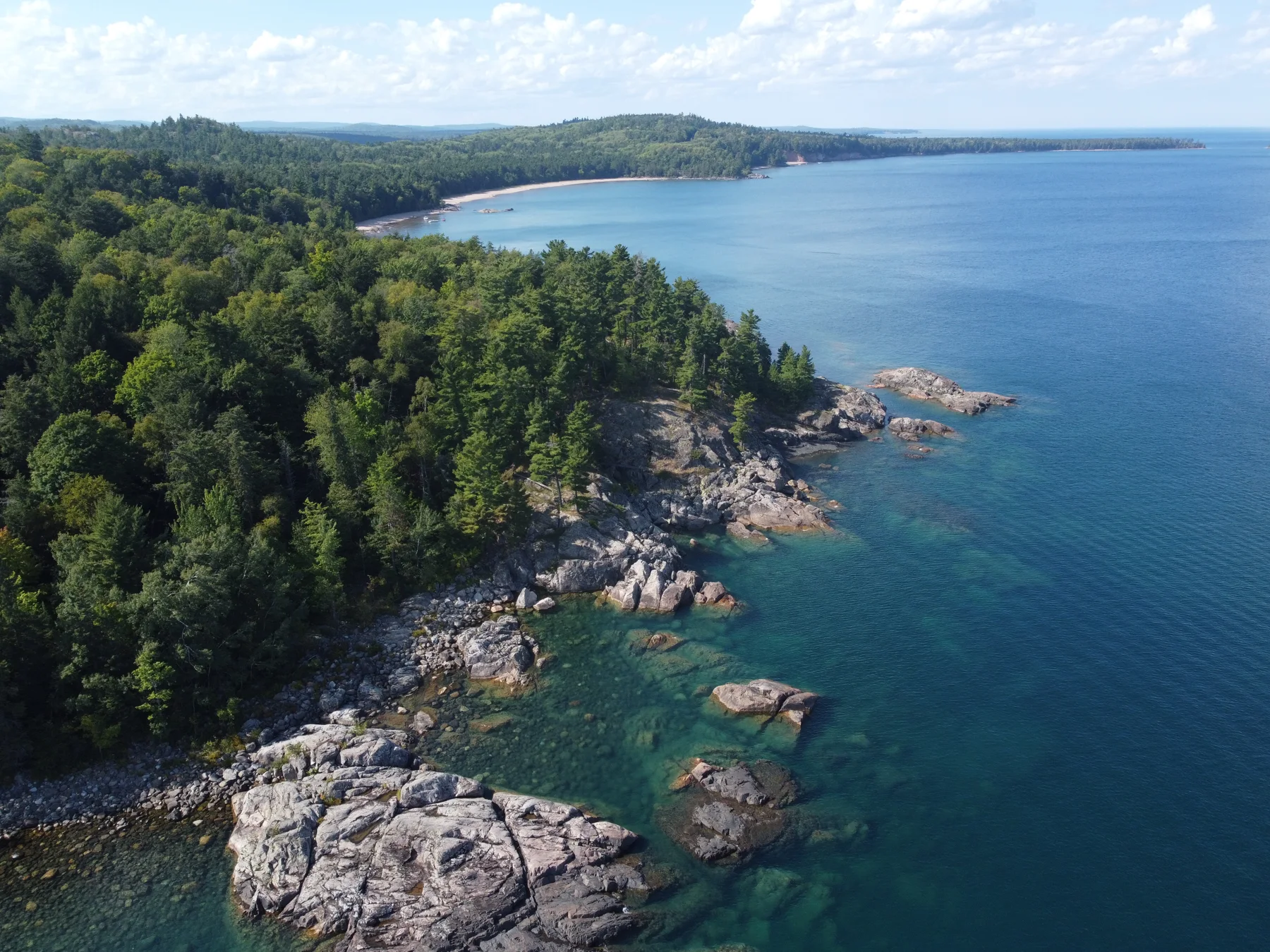
A headland opens to blue
Marquette County · Michigan
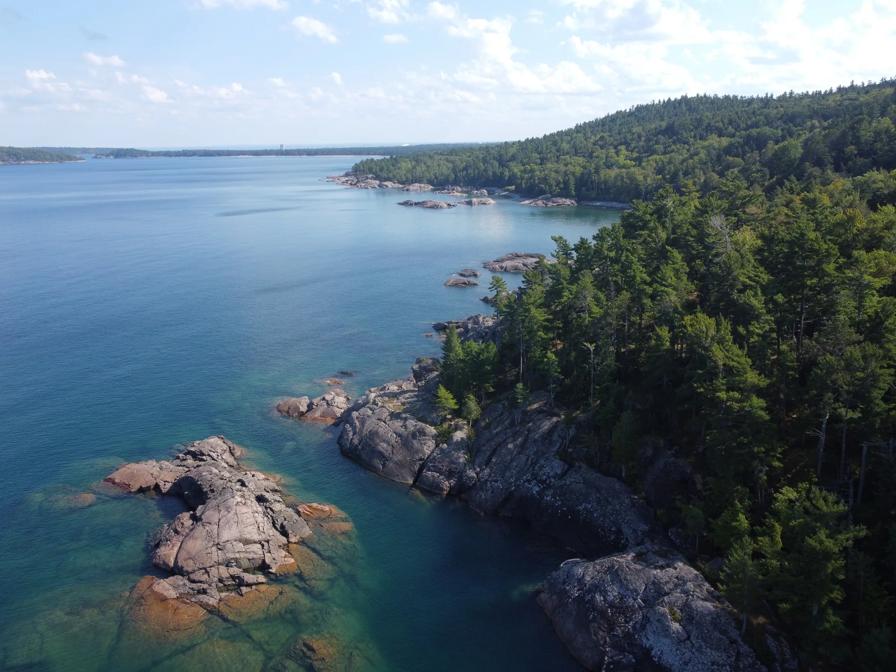
Following the rocky coast
Marquette County · Michigan
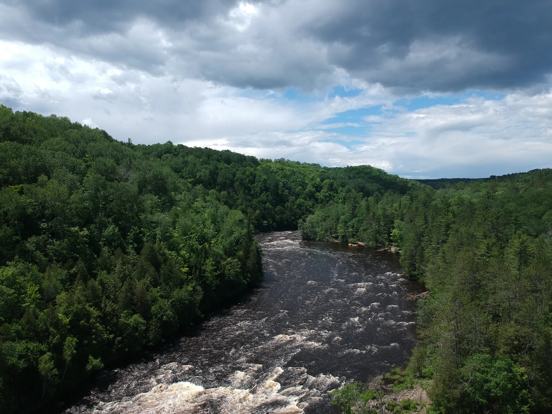
A river gathers force
Piers Gorge area · Dickinson County
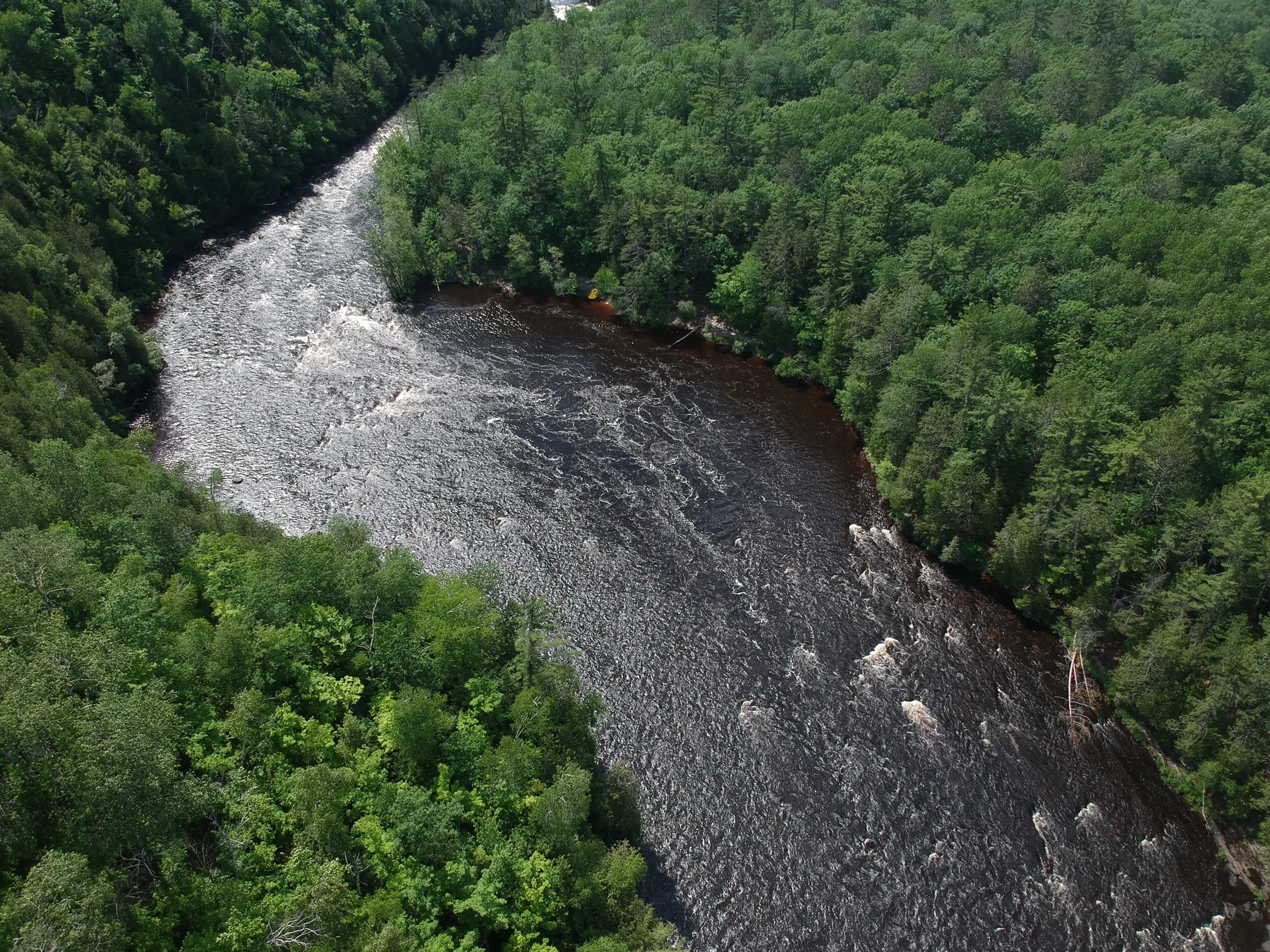
The whitewater corridor
Piers Gorge area · Dickinson County
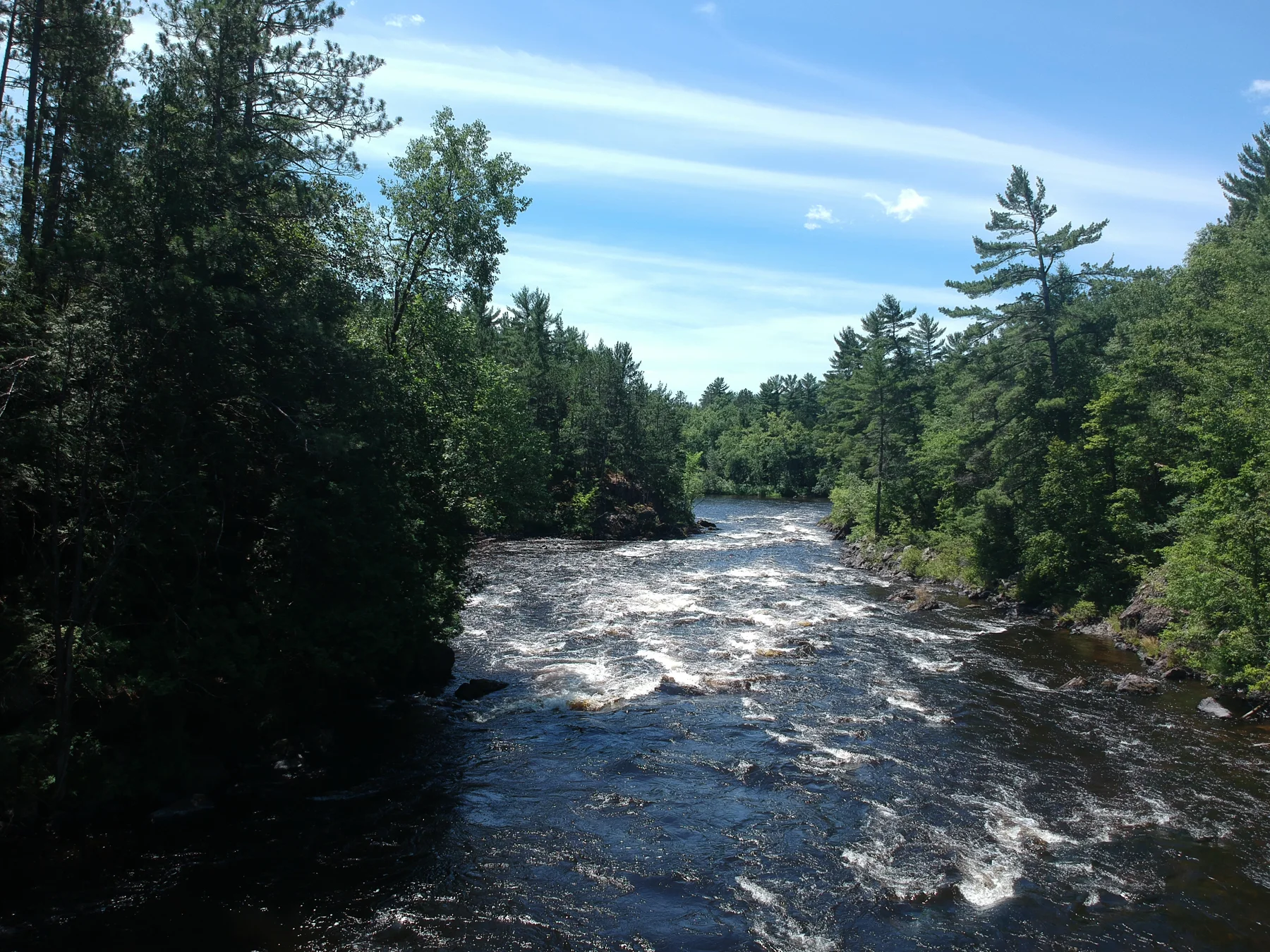
A river through the pines
Michigan–Wisconsin border area
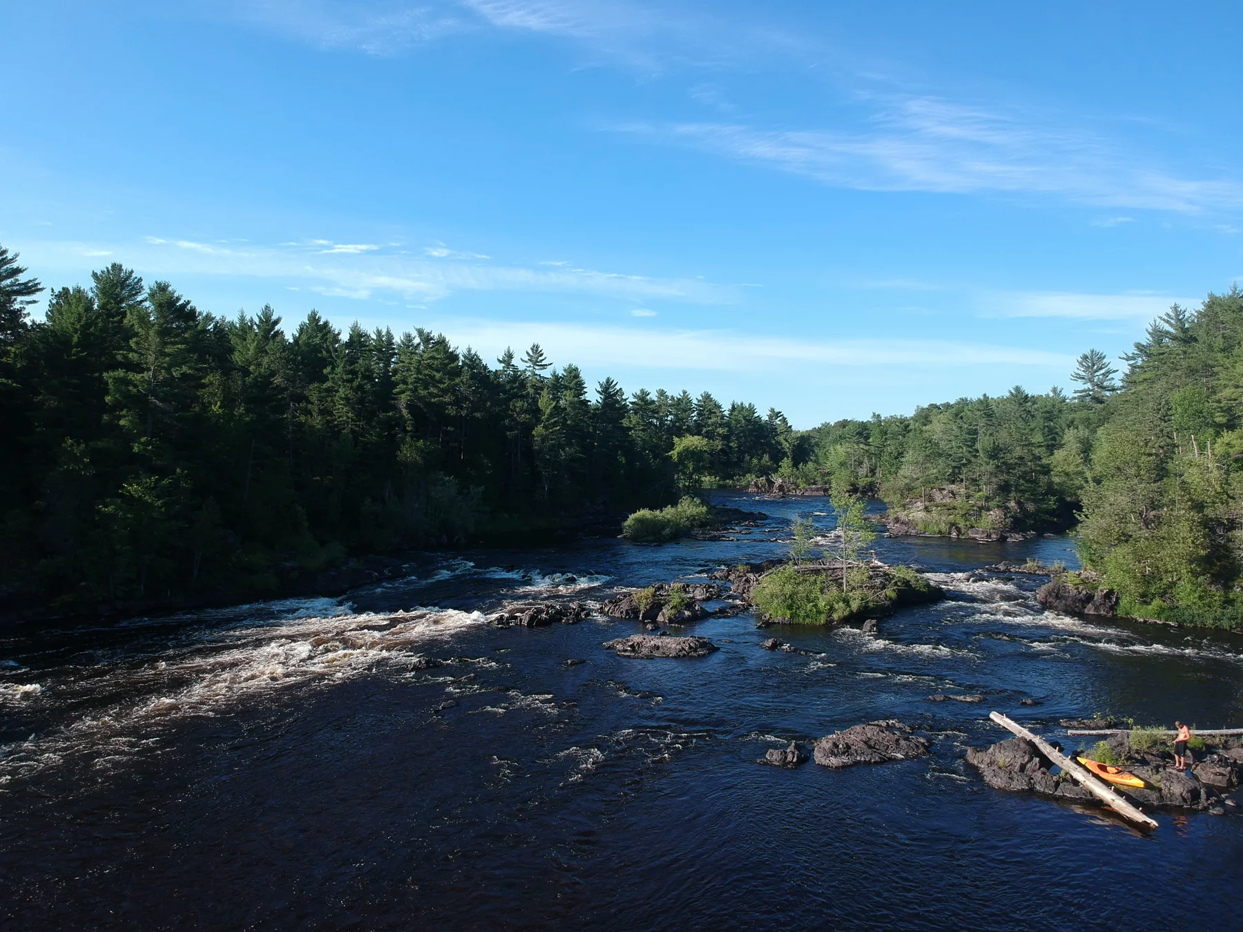
Across the broken current
Michigan–Wisconsin border area
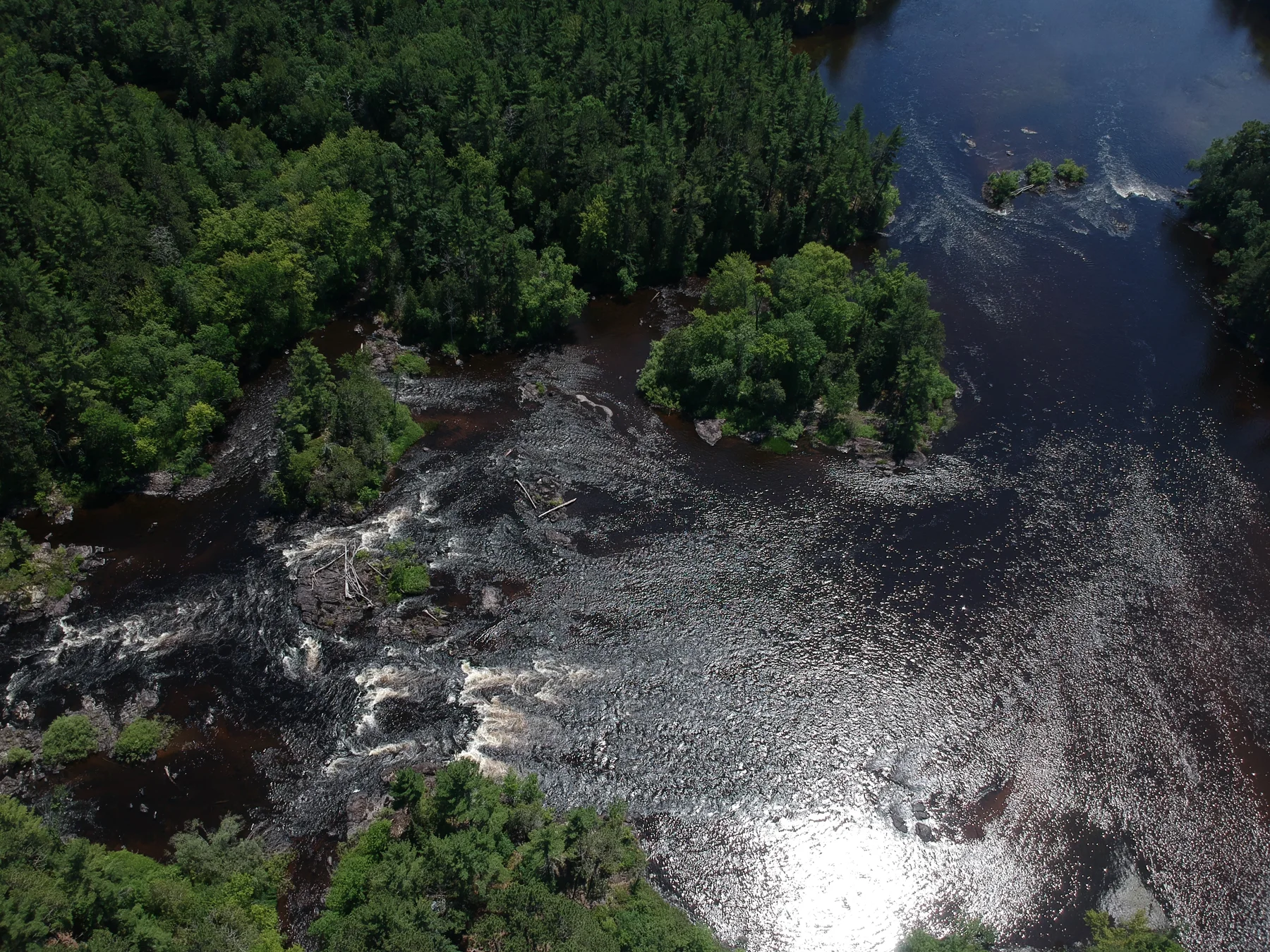
A river written in foam
Michigan–Wisconsin border area
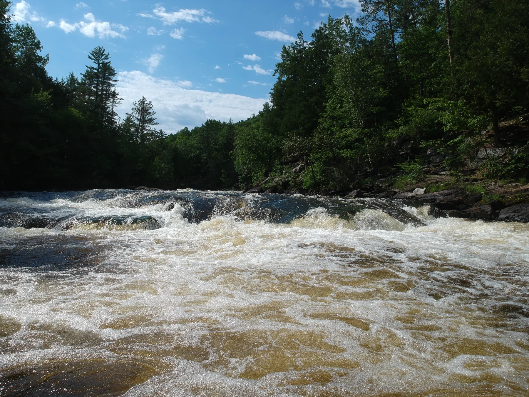
A river’s bright surface
Michigan–Wisconsin border area
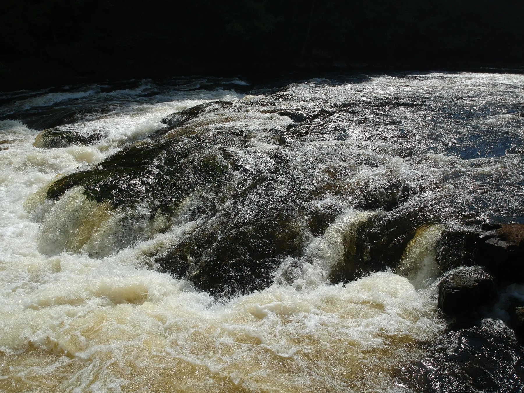
The curling edge of a rapid
Michigan–Wisconsin border area
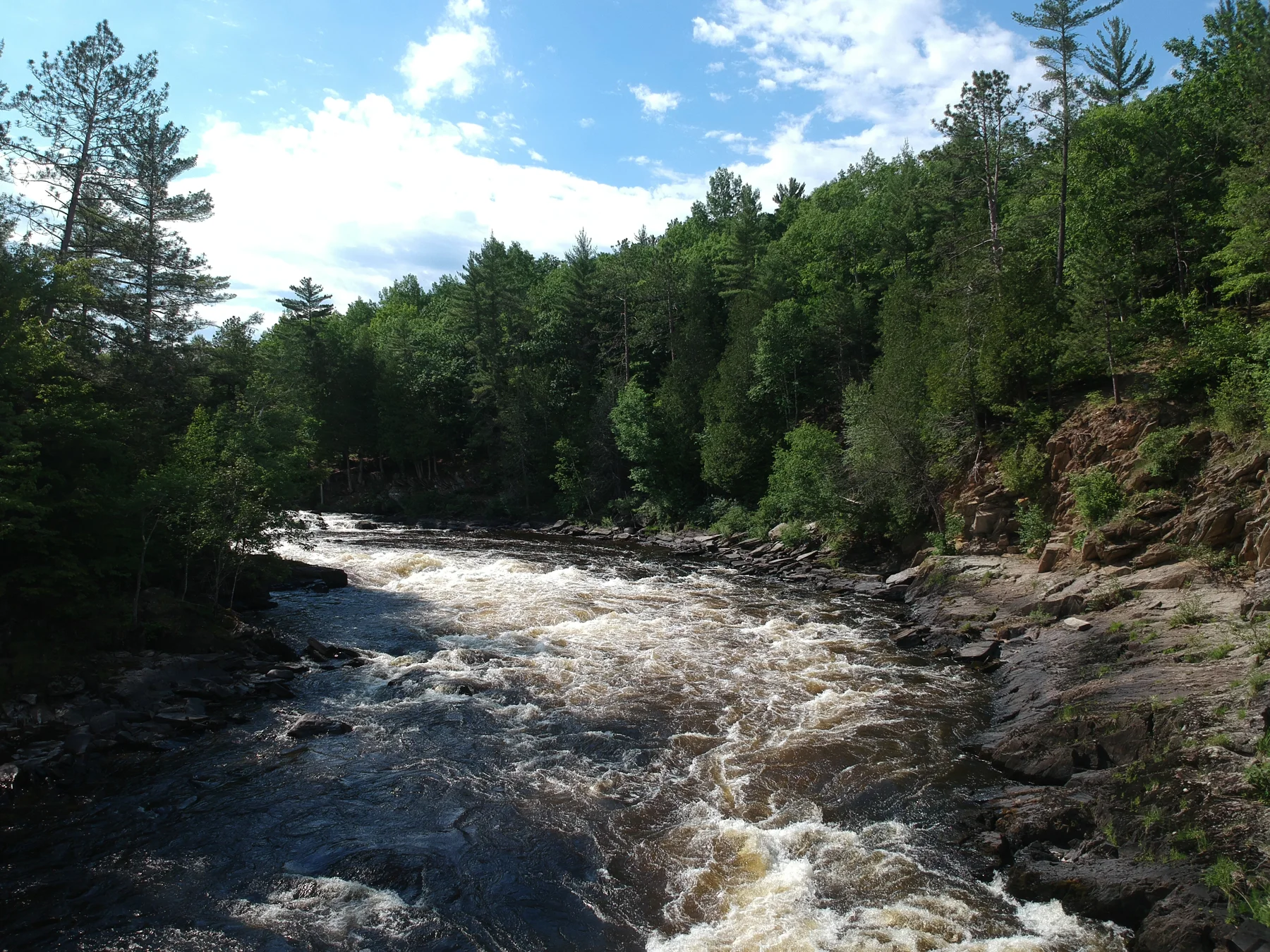
The current between stone banks
Michigan–Wisconsin border area
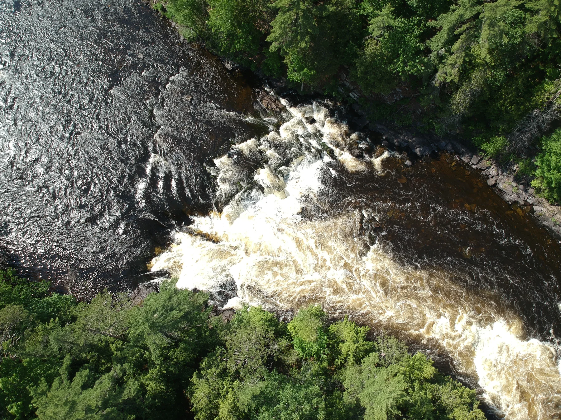
The shape of a river drop
Michigan–Wisconsin border area
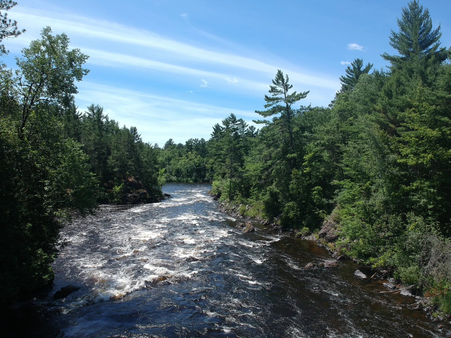
The pine-lined passage
Michigan–Wisconsin border area
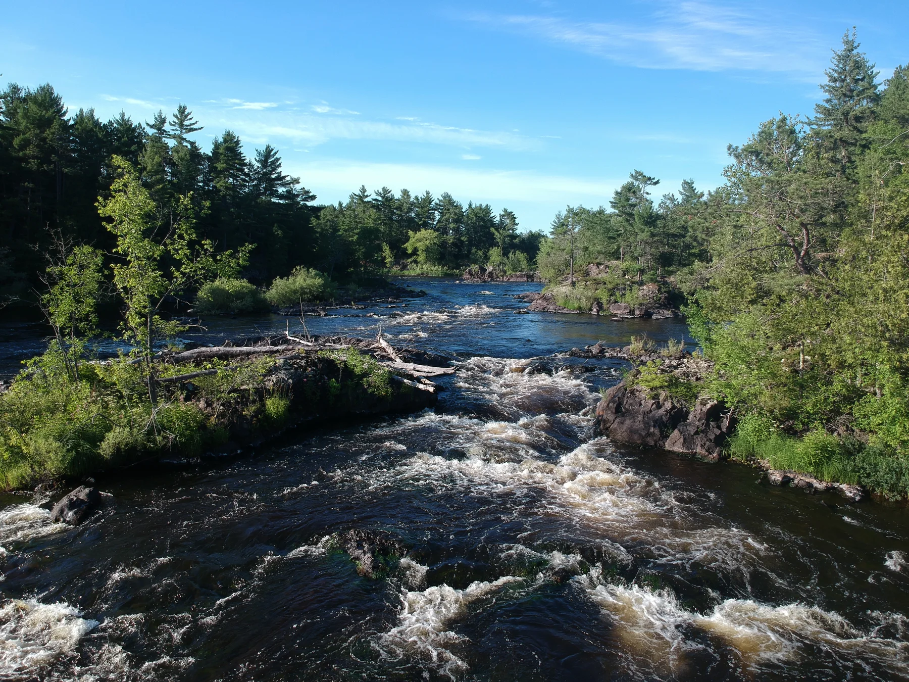
The river across its shelves
Michigan–Wisconsin border area
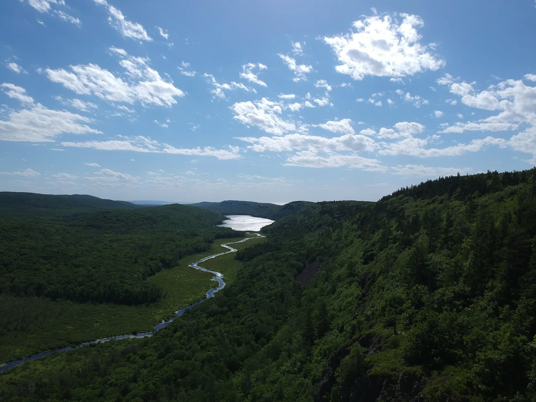
A valley holding water
Ontonagon County · Michigan
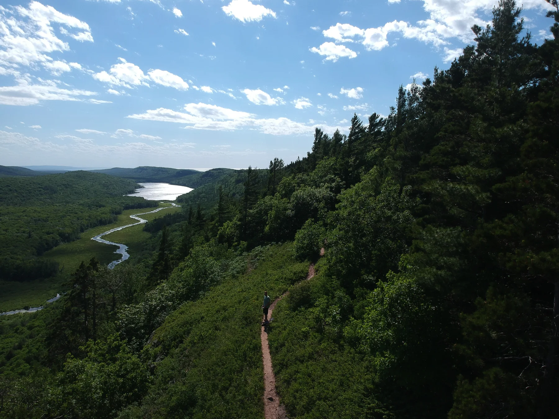
The winding approach to the lake
Ontonagon County · Michigan
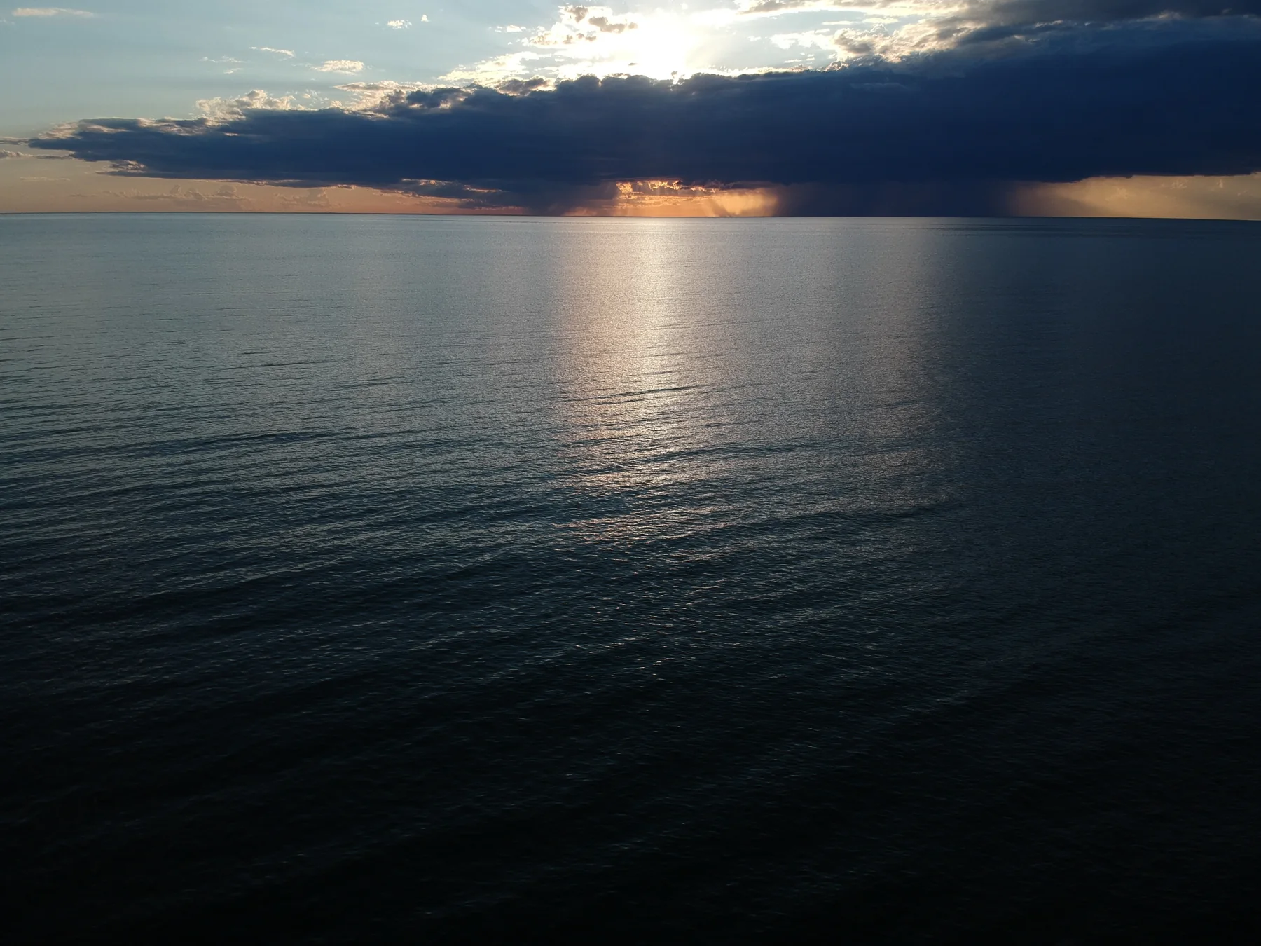
Light through the weather
Ontonagon County · Lake Superior
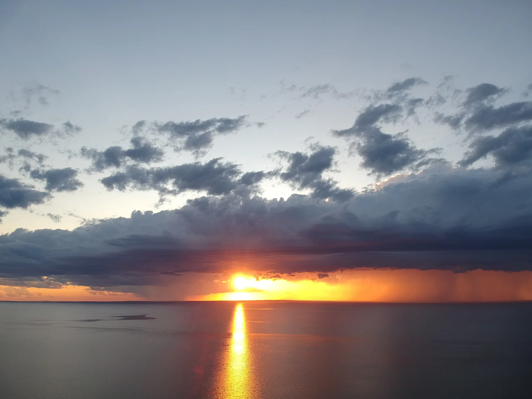
A column of sunset
Ontonagon County · Lake Superior
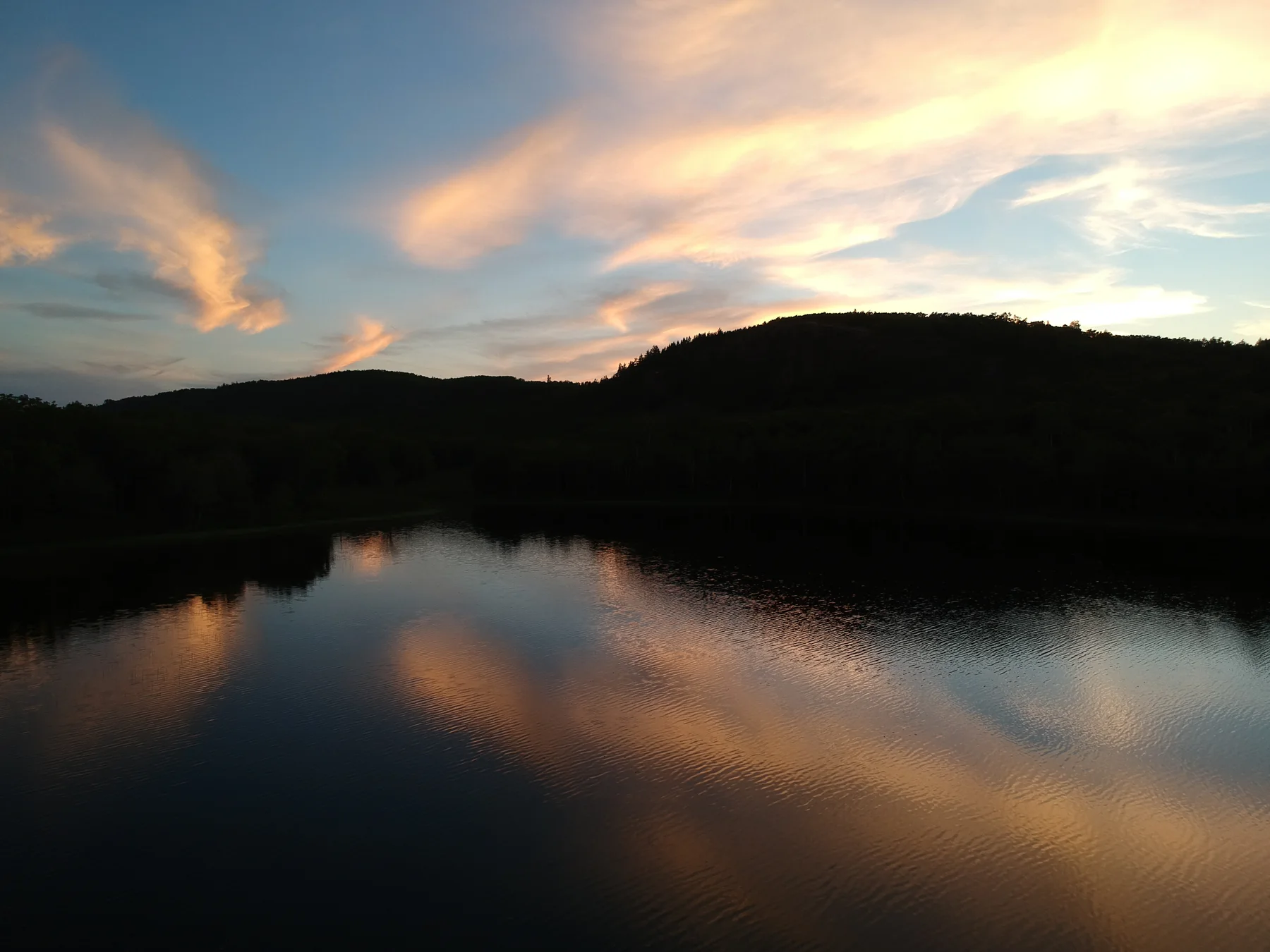
Evening held in still water
Ontonagon County · Michigan
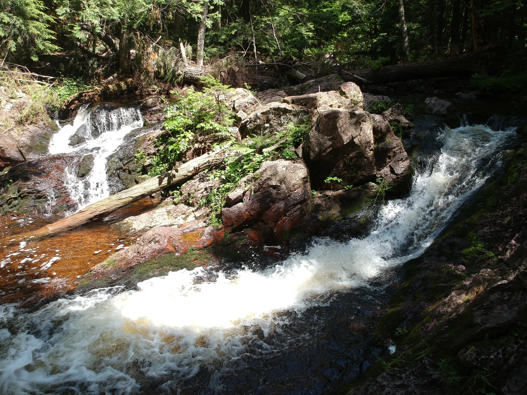
A small cascade in the woods
Ontonagon County · Michigan
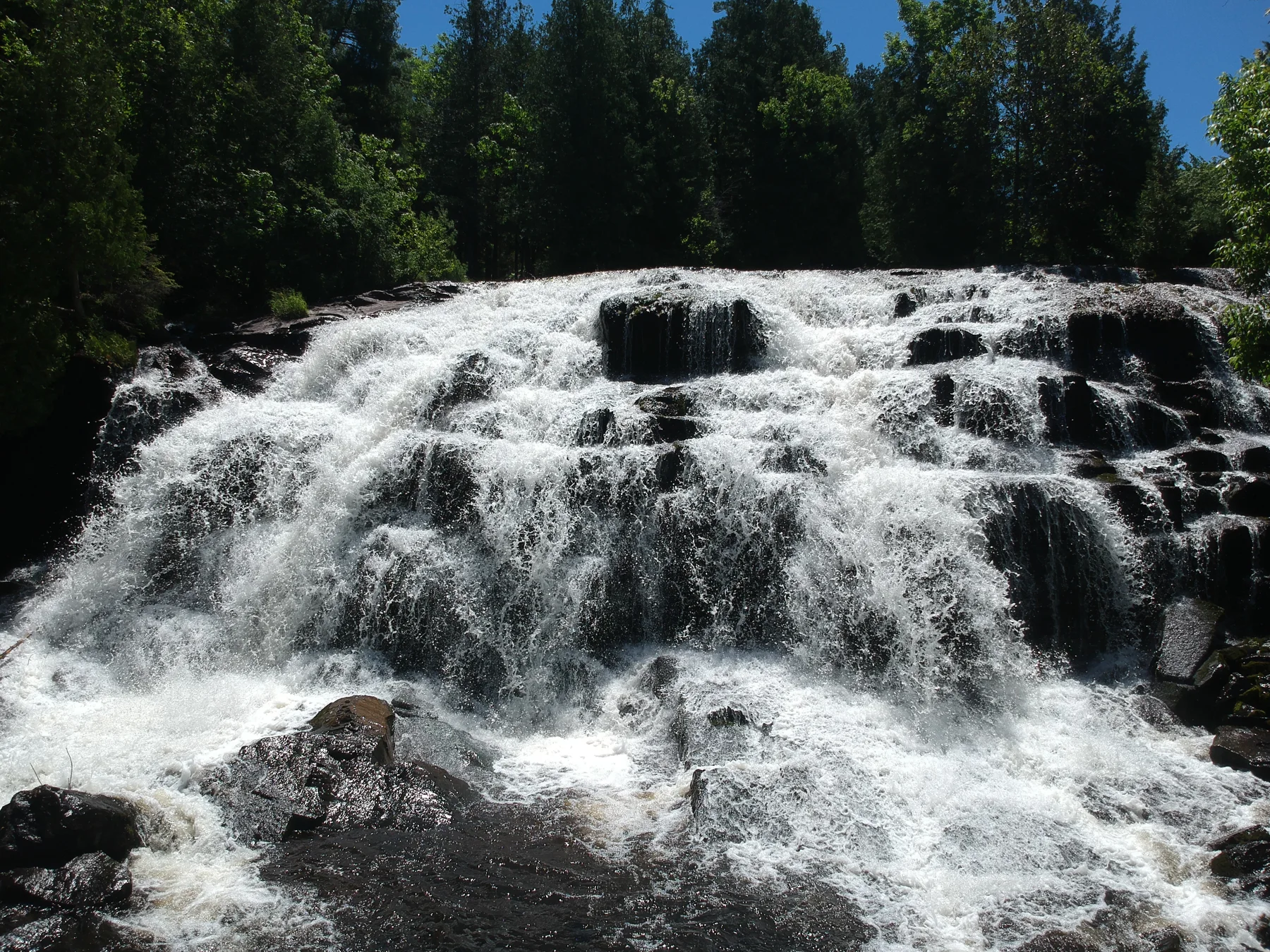
The many edges of a waterfall
Ontonagon County · Michigan
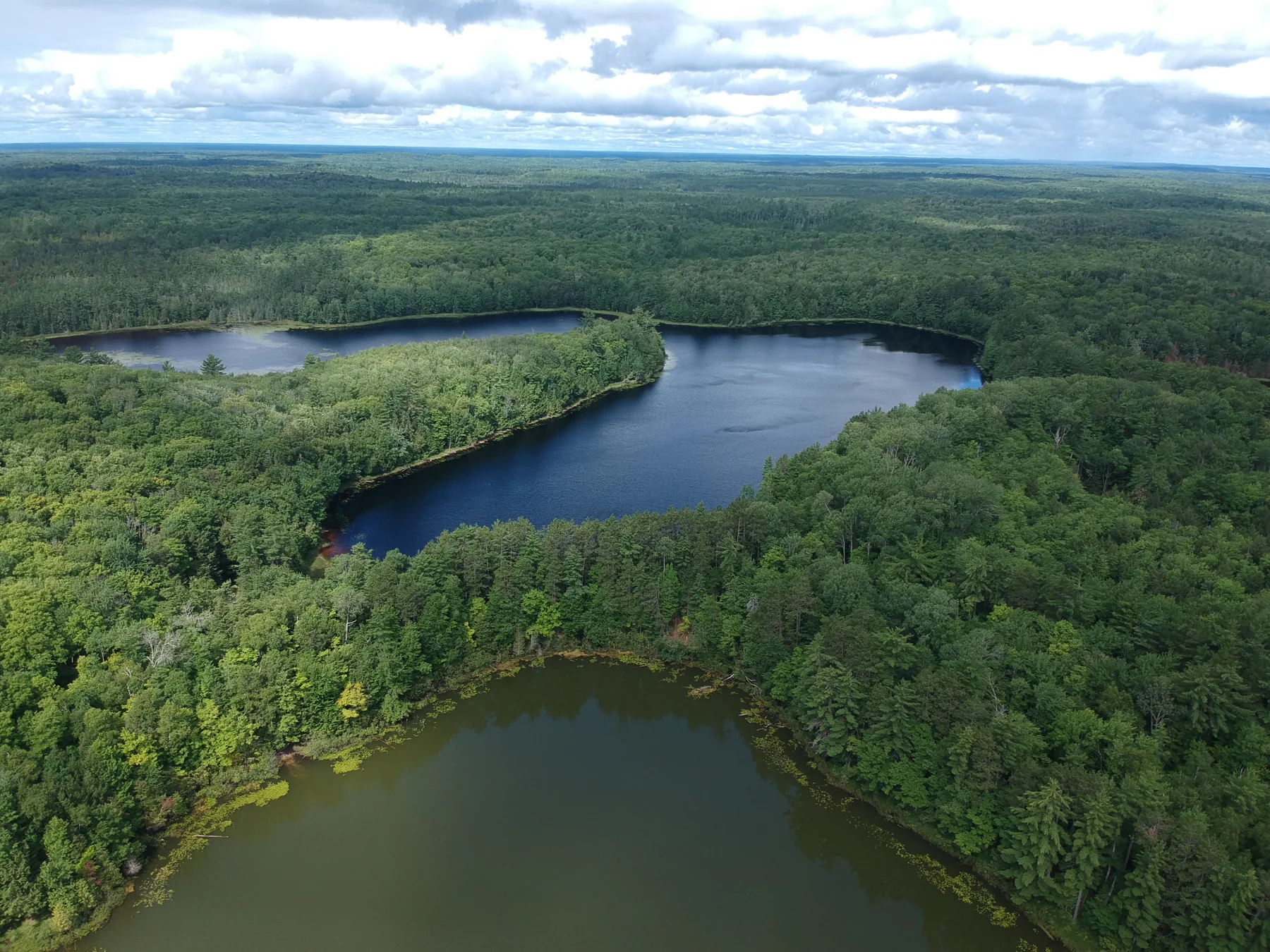
Water within the woods
Inwood Township · Schoolcraft County
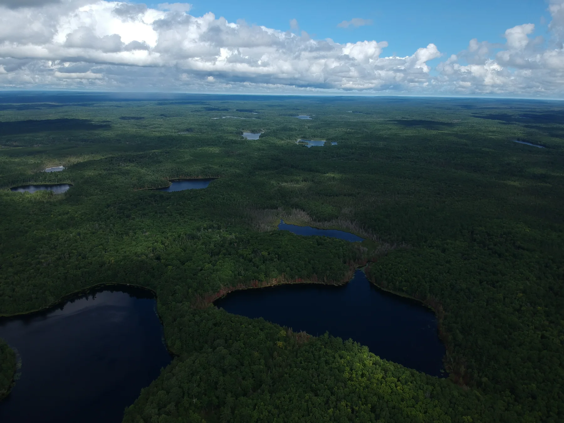
A country of lakes
Inwood Township · Schoolcraft County
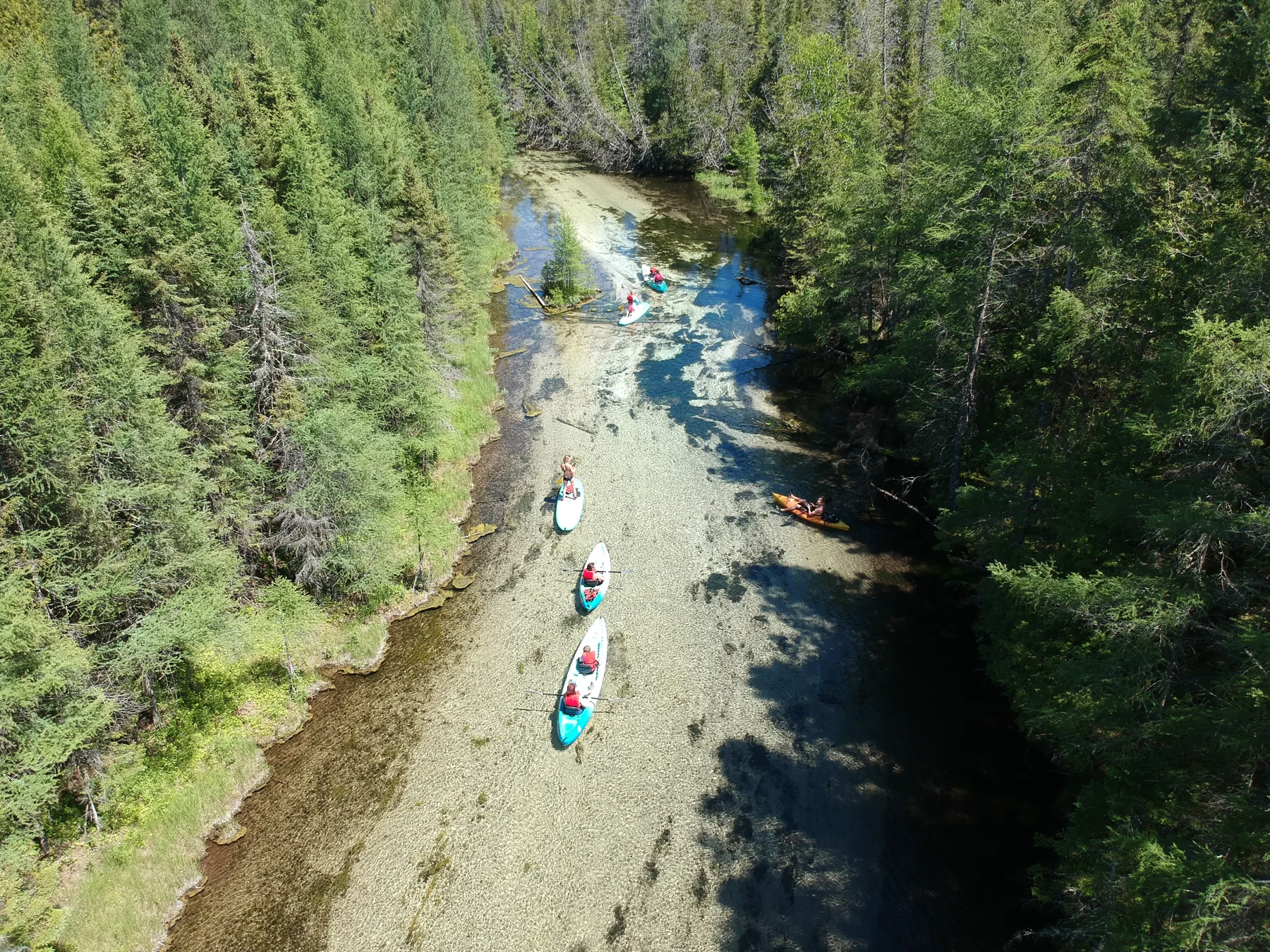
The clear passage
Schoolcraft County · Michigan
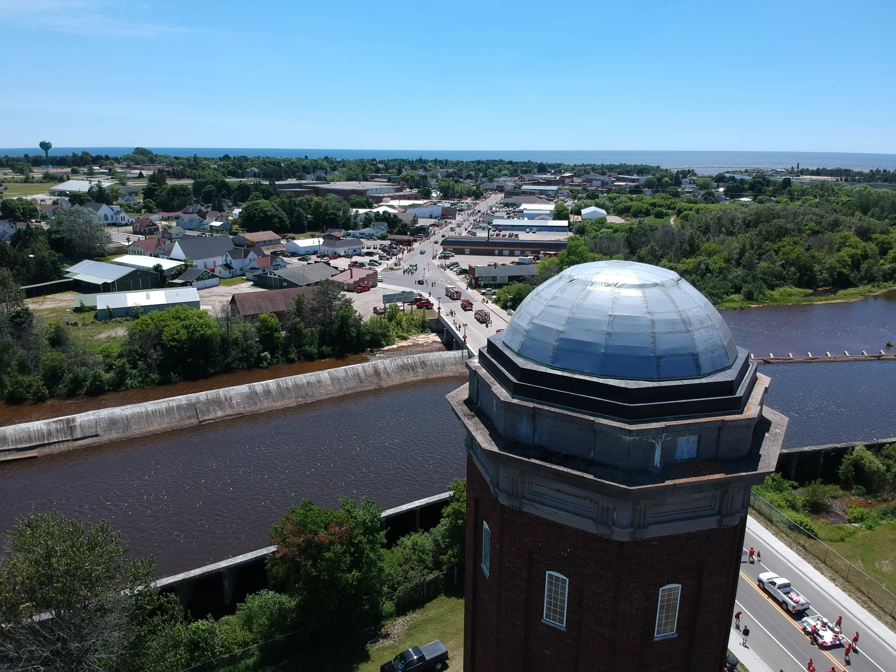
Water beside the town
Schoolcraft County · Michigan
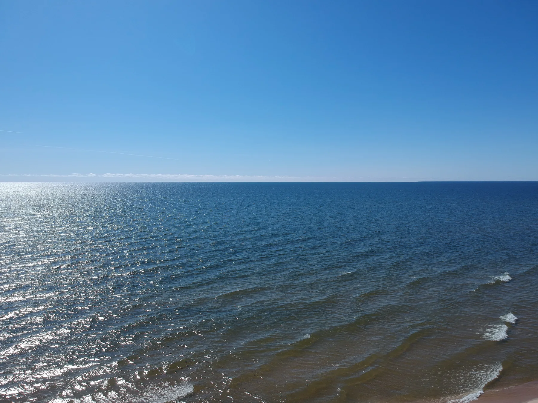
The open horizon
Michibay coast · Schoolcraft County
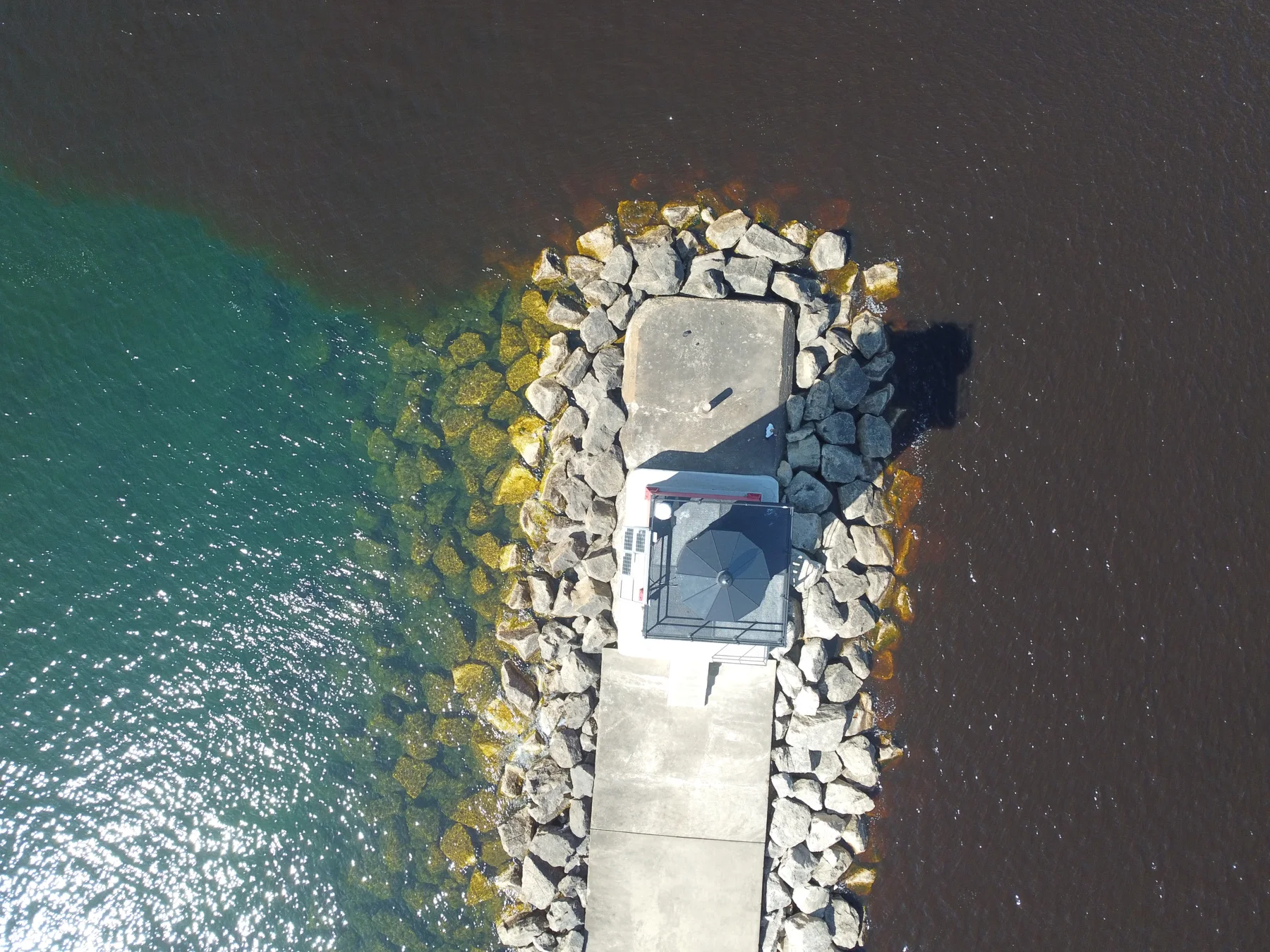
Two colors at the breakwater
Near Schoolcraft County · Michigan
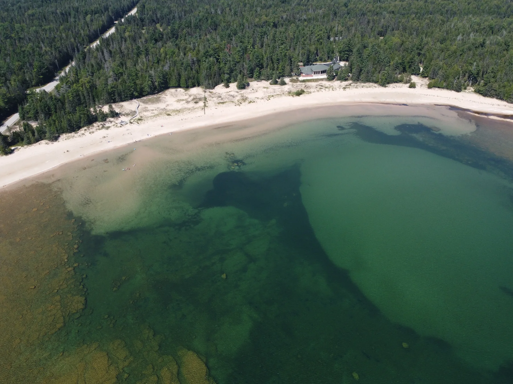
The shallows keep their shapes
Schoolcraft County · Michigan
No photographs match these two filters.
Stay with a place.
Select any photograph to open the full view, read its field note, and follow its location. Use the arrow keys to move through the collection and Escape to close.
Photographs are presented as observations of place, season and light—a visual companion to the Codex’s study of water.
Reading the location notes
Sixty-six originals contain camera GPS coordinates. County labels and place filters provide regional context using U.S. Census boundary data; offshore views use the nearest mapped shoreline, and border areas are labeled broadly. Existing place names also draw on OpenStreetMap contributors. A marker identifies the camera position, not the entire scene.
Two files contain no GPS data. “Union Spring” comes from its source filename; its exact location remains unverified. Capture dates appear only where recorded with the geotagged originals.